We are in the process of migrating all NASA Earth science data sites into Earthdata from now until end of 2026. Not all NASA Earth science data and resources will appear here until then. Thank you for your patience as we make this transition.
Read about the Web Unification Project
StoryMaps
Esri StoryMaps created by NASA explore emerging Earth science data.
Filters
1 MIN READ
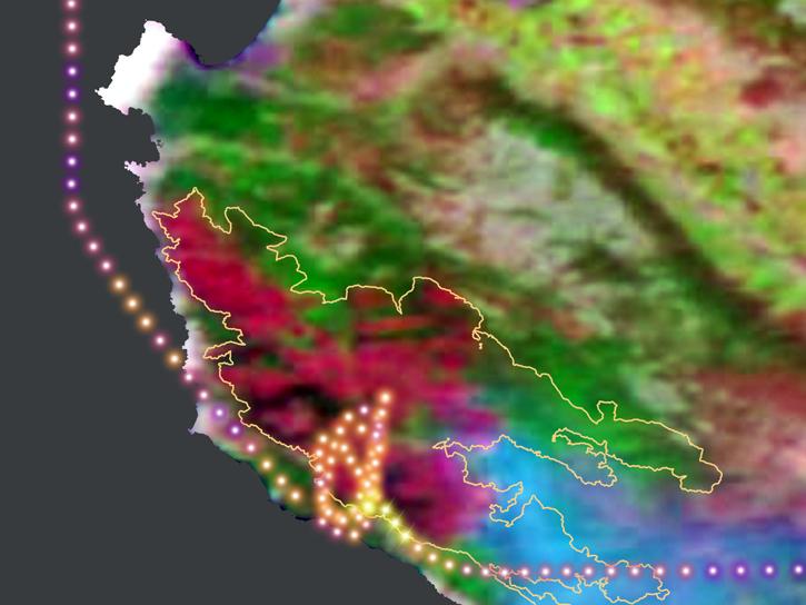
During this 2016 fire in California, the Alpha Jet Atmospheric eXperiment team collected data on ozone, formaldehyde, methane, and carbon dioxide.
June 5, 2026

1 MIN READ
Methods for reducing the spatial extent of NISAR products using data from NASA's Alaska Satellite Facility Distributed Active Archive Center (ASF DAAC).
June 4, 2026

1 MIN READ
Compare the different Sentinel-1 InSAR products available On Demand from NASA's Alaska Satellite Facility Distributed Active Archive Center (ASF DAAC).
June 4, 2026

1 MIN READ
Dr. Richard Moore, Deputy Project Scientist of the North Atlantic Aerosols and Marine Ecosystems Study (NAAMES).
April 17, 2026

1 MIN READ
Researcher profile on ASDC's Dr. Armin Sorooshian.
April 15, 2026

1 MIN READ
Dr. Michael Behrenfeld, the Chief Scientist and overall Principal Investigator of the North Atlantic Aerosols and Marine Ecosystems Study (NAAMES).
April 8, 2026
1 MIN READ
The "dark side" of the Moon is not dark for NASA's Earth Polychromatic Imaging Camera (EPIC) aboard the Deep Space Climate Observatory (DSCOVR).
March 30, 2026

1 MIN READ
The Atmospheric Science Data Center (ASDC) explains how NASA Earthdata helps provide a better understanding of extreme fire events.
March 30, 2026
SHOWING 8 OF 59