We are in the process of migrating all NASA Earth science data sites into Earthdata from now until end of 2026. Not all NASA Earth science data and resources will appear here until then. Thank you for your patience as we make this transition.
Read about the Web Unification Project
StoryMaps
Esri StoryMaps created by NASA explore emerging Earth science data.
Filters

1 MIN READ
Explore how the DCOTSS campaign braved storms to uncover changes in atmospheric composition.
Dec. 11, 2025

1 MIN READ
This StoryMap highlights the Aerosol Radiation Cloud aerosol Sea ice Interaction eXperiment (ARCSIX).
Dec. 8, 2025

1 MIN READ
Explore our world using NASA's Earth observations.
Nov. 19, 2025
1 MIN READ
Showcasing How the CALIPSO-NVF Campaign Validated the Extended Data Collection of the CALIPSO Satellite
Nov. 13, 2025
1 MIN READ
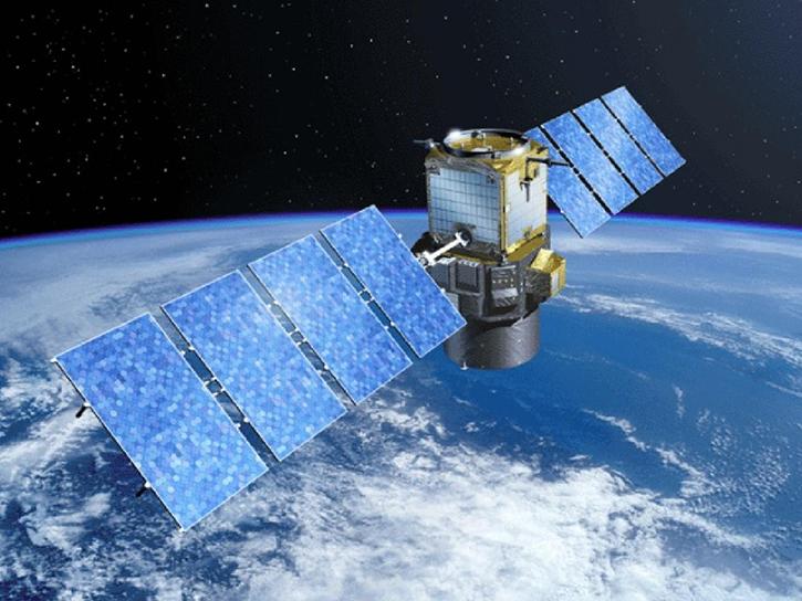
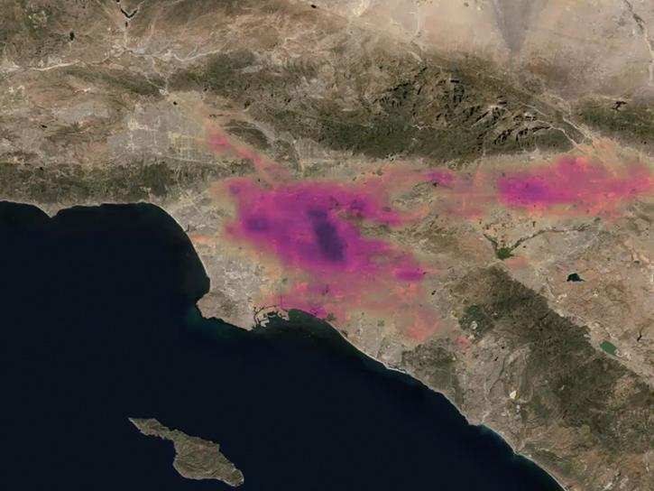
Understanding and Visualizing NO2 and HCHO Data from the STAQS and TEMPO Missions
Sept. 24, 2025

1 MIN READ
Access resources for exploring and working with OPERA Surface Displacement from Sentinel-1 (DISP-S1) products.
Sept. 2, 2025

1 MIN READ
Learn how to access and analyze PACE data in ArcGIS to uncover new insights about Earth.
Aug. 27, 2025

1 MIN READ
Our Earth Data Officer, Katie Baynes, spoke at the Federal GIS Conference Plenary. In case you missed her presentation, here is a story map for you to catch up on how NASA Earth data can be leveraged in your GIS project.
March 5, 2025
SHOWING 8 OF 56