Introduction
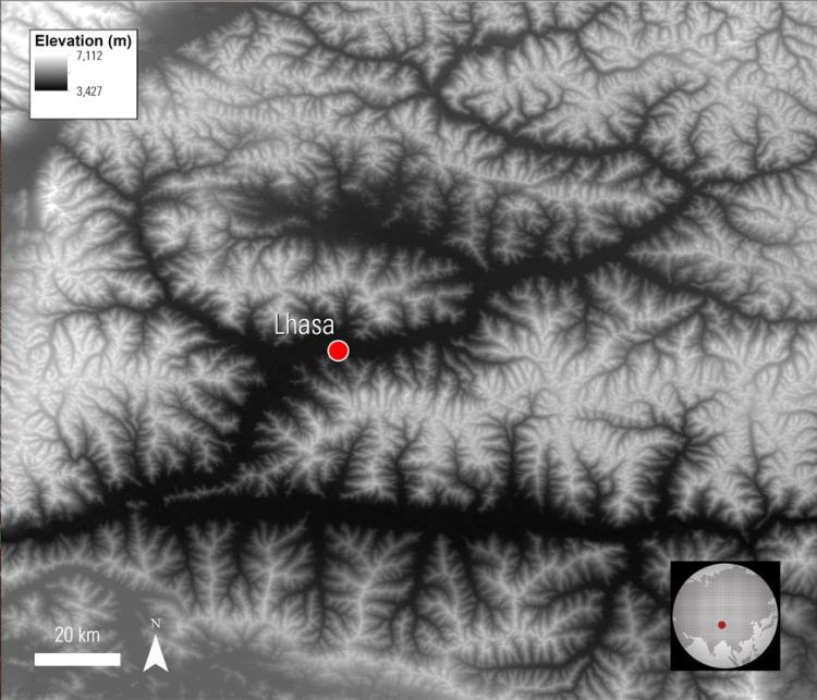
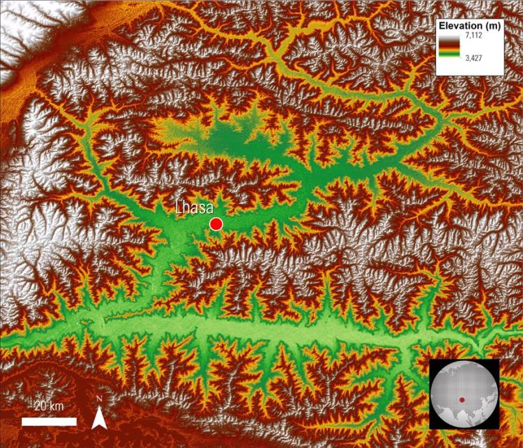
Terrain data, such as information about elevation, slope, and aspect, can play an integral part in many land change and management studies. These data are particularly useful in the form of digital elevation models (DEMs). Most simply, DEMs can be used to create three-dimensional data visualizations, which provide an insightful perspective on landscapes. For more complex studies, DEMs can be used to map hazardous terrain, to calculate topographical features such as slope and aspect, and as an input variable for modelling landslides or snowmelt.
Instruments and Techniques Used
Digital elevation data can be created from many different sources. NASA's Land Processes Distributed Active Archive Center (LP DAAC) distributes terrain data from two different sources: (1) NASA’s Shuttle Radar Topography Mission (SRTM) version 3.0 (SRTM V3.0) and (2) the Advanced Spaceborne Thermal Emission and Reflection Radiometer (ASTER) Global Digital Elevation Model (GDEM) version 2.0 (ASTGTM; GDEM2).


