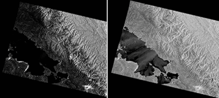
Digital Elevation Models, or DEMs, are three-dimensional models of the “bare earth” surface, showing elevation and topography without trees, buildings, or other objects. DEMs are important in many different applications, including predicting wildfire behavior, planning for ecological conservation, and creating realistic models of water flow and flood risk.
DEMs are a synthesis of many different data sources, including traditional topographic maps, airborne missions, and satellite observations. For example, NASA’s Shuttle Radar Topography Mission (SRTM), a pair of radar antennas aboard the Space Shuttle Endeavour, collected topographic data for nearly 80% of Earth’s surface, forming the basis of near-global DEMs. Since then, these models have been further refined and expanded through additional NASA missions, like the Ice, Cloud and land Elevation Satellite (ICESat), the Terra satellite’s Advanced Spaceborne Thermal Emission and Reflection Radiometer (ASTER), and large-scale reprocessing efforts. Today, NASA partners with commercial satellite operators and academic research centers through the EarthDEM project, a coordinated effort to produce high-resolution terrain maps from the best available observations.
NASA DEMs support the monitoring, study, and modeling of Earth’s natural resources and hazards. Continued innovation in elevation observations, such as the use of lidar to map terrain in more detail than ever before, continue to improve our models of Earth’s surface.


 V3 Global 1 arc second hillshade image of the Mt Everest region")