We are in the process of migrating all NASA Earth science data sites into Earthdata from now until end of 2026. Not all NASA Earth science data and resources will appear here until then. Thank you for your patience as we make this transition.
Read about the Web Unification Project
Digital Elevation/Terrain Model (DEM) News
Articles, resources, and announcements from Digital Elevation/Terrain Model (DEM).

The Satellite Needs Working Group (SNWG) works to identify and address the Earth observation needs of civilian federal agencies. SNWG is launching its latest biennial survey to identify needs, while also reporting progress on previous solutions.
Feature Article
April 27, 2026

The products include 3D elevation models, 30-cm black/white and color imagery, and 99-cm orthorectified, multispectral archived and tasked data.
News
Jan. 28, 2026

The final processing of Advanced Spaceborne Thermal Emission and Reflection Radiometer (ASTER) data will make its archive more accessible to users.
Feature Article
Jan. 21, 2025

Who Uses NASA Earth Science Data? Rowena Lohman, to study earthquake physics, satellite remote sensing, finite element modeling, ground displacements from a variety of anthropogenic and natural causes.
Data User Story
April 22, 2021

The ability for Synthetic Aperture Radar (SAR) to create high-resolution imagery regardless of atmospheric conditions makes it a key technology for studies of change over time. Dr. Paul Siqueira’s work improves these sensors and the Earth observing data they collect.
Data User Story
April 22, 2021

SRTMGL1 coverage now includes Africa, Europe, North America, South America, Asia, and Australia in 1° X 1° tiles at 1 arc second (about 30 meters) resolution.
News
March 1, 2021

Global climate change is leading to shifts in vital ecosystems. Dr. Malone uses Earth observation data to explore how a changing climate impacts ecosystem structure and function.
Data User Story
Feb. 25, 2021
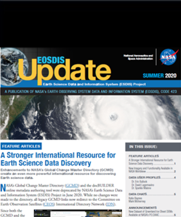
Find EOSDIS dataset and data tool news, top stories, featured data images, webinars, links to new learning resources, data recipes, and data user profiles.
News
Jan. 27, 2021
SHOWING 8 OF 25