Science Objectives
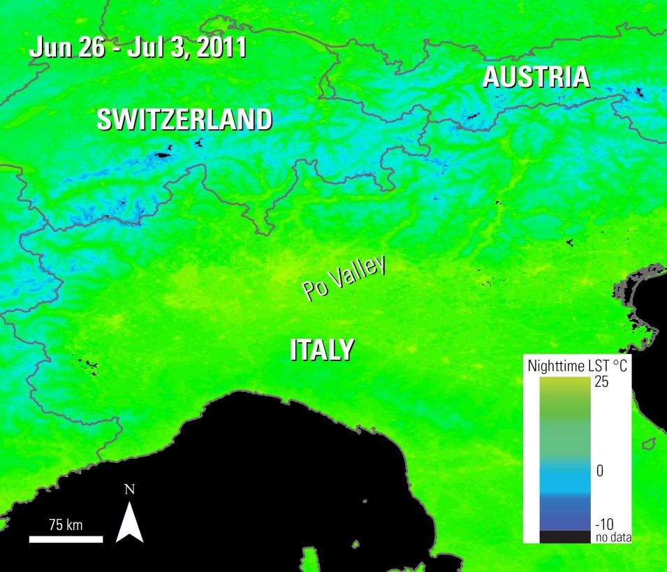
In their paper "Effects of urban growth spatial pattern (UGSP) on the land surface temperature (LST)—A study in the Po Valley (Italy)" published in Science of the Total Environment, Zullo and others (2019) examine how different urban growth spatial patterns (UGSP) impacted Land Surface Temperatures (LST) in the Po Valley in Italy between 2001 to 2011.
Instruments Used
For this study, the authors use Terra MODIS Daytime and Nighttime LST data (MOD11A2) from the LP DAAC, combined with urbanization data from the Italian National Institute of Statistics (ISTAT) database to conduct an Analysis of Variance (ANOVA) test, as well as a post-hoc analysis using the Turkey-Kramer test.
Major Findings
The authors found that during the study period, the Po Valley saw an increase in urban area of 630 square kilometers (240 square miles). The average daytime LST in the region increased by 1.36 °C, and the average nighttime LST increased by 0.53 °C, for an overall daily increase of 0.93°C over the 10-year study period. In some areas, the authors found an increase of over 2 °C in daily LST. The study also found that the range between daytime and nighttime temperatures decreased in areas where urban cover progressively increased, which can lead to a lack of cooling relief at night. The authors believe their results provide useful information to raise public awareness about how different UGSPs can impact temperature changes on a local scale.
References
Publication Reference
Zullo, F., Fazio, G., Romano, B., Marucci, A., and Fiorini, L., 2019, Effects of urban growth spatial pattern (UGSP) on the land surface temperature (LST)—A study in the Po Valley (Italy): Science of the Total Environment, v. 650, pt. 2, p. 1740–1751. doi:10.1016/j.scitotenv.2018.09.331
Image References
Granule IDs
- MOD11A2.A2011121.h18v04.006.2016055032636
- MOD11A2.A2011121.h19v04.006.2016055032634
Data Citation
Wan, Z., S. Hook, G. Hulley. MOD11A2 MODIS/Terra Land Surface Temperature/Emissivity 8-Day L3 Global 1km SIN Grid V006. 2015, distributed by NASA EOSDIS Land Processes DAAC, doi:10.5067/MODIS/MOD11A2.006
Boundary Source
Global Administrative Unit Layers (GAUL) dataset, implemented by FAO within the CountrySTAT and Agricultural Market Information System (AMIS) projects.
Detecting Geothermal Activity in Turkey
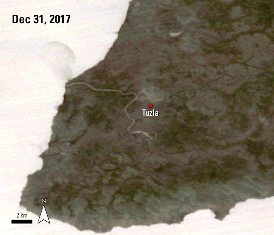
This study applies Advanced Spaceborne Thermal Emission and Reflection Radiometer (ASTER) and MODIS thermal data to monitor geothermal anomalies in the Tuzla region of western Turkey.


