We are in the process of migrating all NASA Earth science data sites into Earthdata from now until end of 2026. Not all NASA Earth science data and resources will appear here until then. Thank you for your patience as we make this transition.
Read about the Web Unification Project
StoryMaps
Esri StoryMaps created by NASA explore emerging Earth science data.
Filters

1 MIN READ
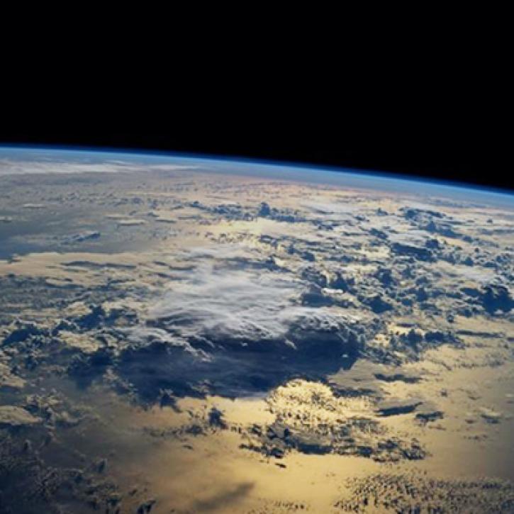
Near real-time monitoring of tropical storms and observations of previous hurricanes.
April 28, 2022
1 MIN READ
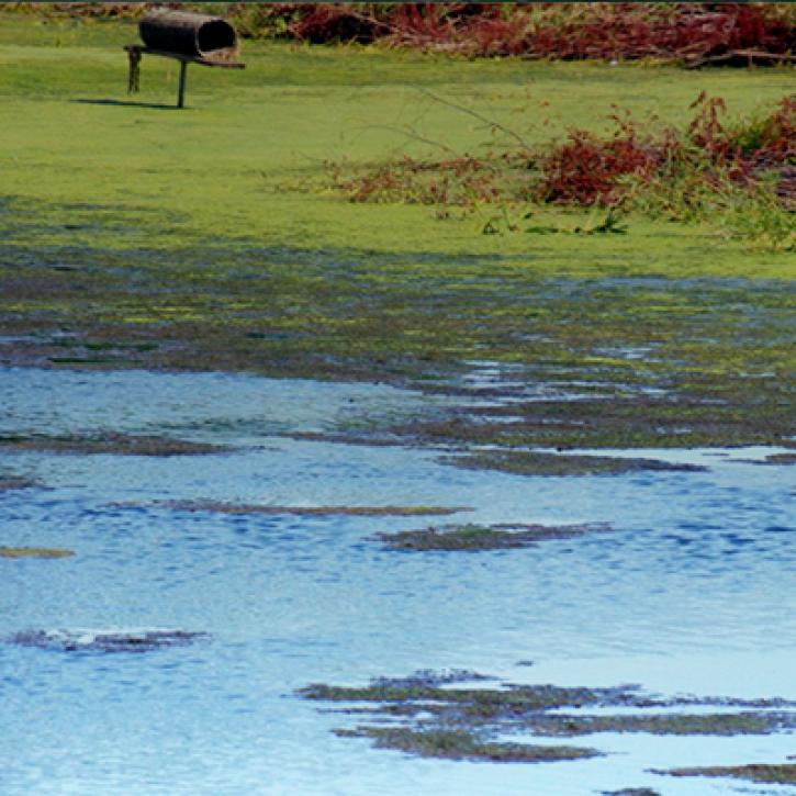
NASA Land Surface Models Capture Water Quality Trends in the Upper Mississippi Basin
Feb. 1, 2022
1 MIN READ
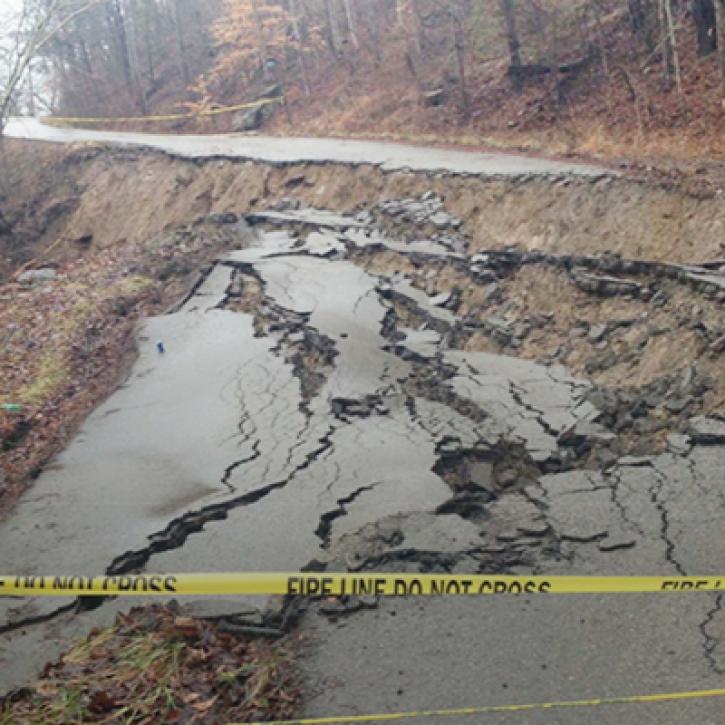
Machine Learning and Remote Sensing Show Where and When Landslides are Most Likely
Feb. 1, 2022

1 MIN READ
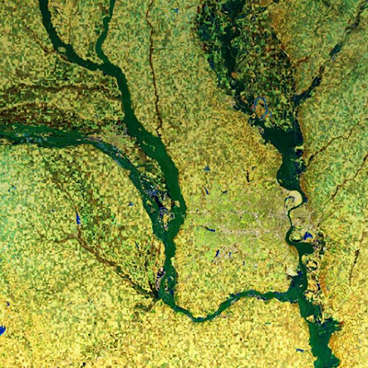
NASA Models Reveal Climate-Induced and Management Impacts on the Mississippi River Delta
Feb. 1, 2022
1 MIN READ
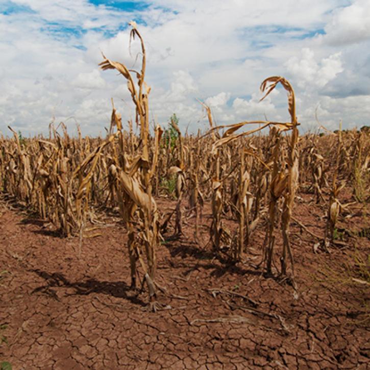
Propagation and Impacts of Great Plains Drought Captured by NASA Models and Datasets
Feb. 1, 2022
1 MIN READ
NASA Models and Remote Sensing Datasets Capture Cascading Impacts on Midwest Farmers
Feb. 1, 2022

1 MIN READ
NASA Models and Datasets Capture Irrigation and Groundwater Depletion Impacts
Feb. 1, 2022
1 MIN READ
Integrating Data and Models Across the Full Water Cycle to Deliver Actionable Freshwater Information
Feb. 1, 2022
SHOWING 8 OF 59