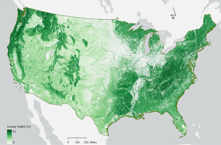
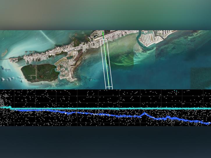
NASA's Ice, Cloud, and land Elevation Satellite-2 (ICESat-2) was launched in September 2018 to measure the heights of all surfaces across the globe, including land ice, sea ice, oceans, water, and vegetation. ICESat-2 carries a photon-counting laser altimeter to measure these surfaces, providing measurements every 70 centimeters along the platform’s ground path at a rate of 10,000 laser pulses per second.
In this webinar, speakers from NASA's Goddard Space Flight Center and the University of New Hampshire (UNH) will introduce the ICESat-2 Inland Surface Water product (ATL13) and Gridded Inland Surface Water product, (ATL22), as well as their associated application areas for water resources decision support. In addition, a data discovery and data access demonstration will showcase icepyx, a shared software library of resources including code, tutorials, and use-cases/examples that simplify the process of querying, obtaining, analyzing, and manipulating ICESat-2 datasets to enable scientific discovery.
We are in the process of migrating all NASA Earth science data sites into Earthdata from now until end of 2026. Not all NASA Earth science data and resources will appear here until then. Thank you for your patience as we make this transition.
Read about the Web Unification Project