We are in the process of migrating all NASA Earth science data sites into Earthdata from now until end of 2026. Not all NASA Earth science data and resources will appear here until then. Thank you for your patience as we make this transition.
Read about the Web Unification Project
Webinars
Our online webinars, trainings, and workshops feature experts in various disciplines who share their knowledge in a particular subject area, from data in the cloud to specific data tools.
Featured Webinars

This NASA web-based tool enables near-real time monitoring of inland and coastal water quality across the U.S. and parts of Africa and South America.
July 1, 2026,2:00-3:00 p.m. EDT(1800-1900 UTC)

Learn how the Fire Information for Resource Management System (FIRMS) uses timely composite imagery to identify fire fronts, burned areas, and smoke.
July 16, 2026,2:00-3:30 p.m. EDT(1800-1930 UTC)

Diane Fritz, an associate scientist at NSIDC DAAC, demonstrates how to use the harmony-py Python library to customize data requests from the NASA Earthdata Cloud.
June 2, 2026,3:00-3:30 p.m. EDT(1900-1930 UTC)
Filters
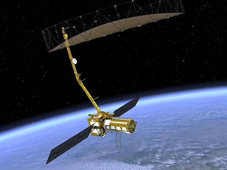
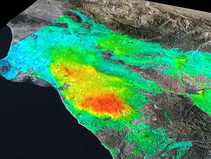
Eric Fielding provides an overview of the NASA/Indian Space Research Organization (ISRO) Synthetic Aperture Radar (NISAR) platform and its measurements and datasets.
Jan. 23-24, 2024,9:00 a.m. - 5:00 p.m. EST(1400-2200 UTC)

This webinar delves into the use of public Zarr store and cloud computing to investigate extreme precipitation events.
Oct. 30, 2023,2:00-3:15 p.m. EDT(1800-1915 UTC)

Learn how to use NASA's Fire Information for Resource Management System (FIRMS) and its enhanced User Interface that provides additional services and analysis capabilities for wildfire management.
Oct. 18, 2023,2:00-3:15 p.m. EDT(1800-1915 UTC)
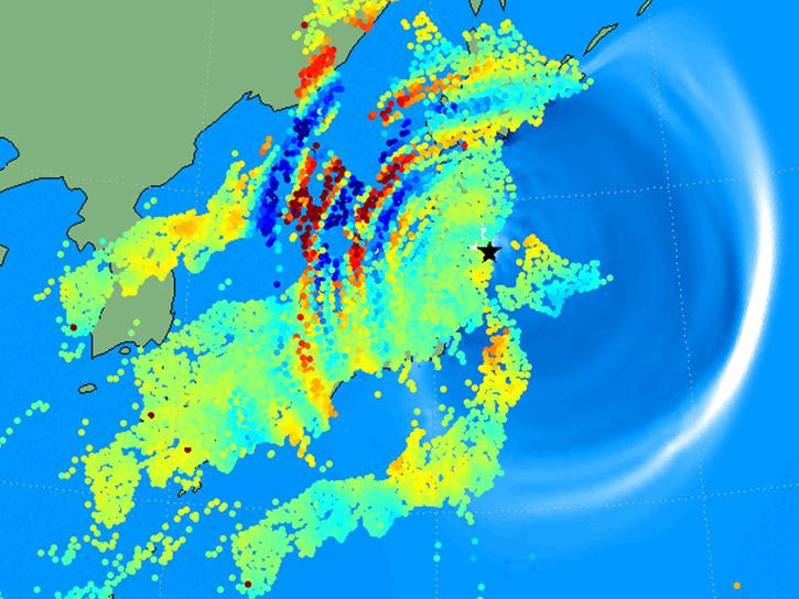
Learn how to use the GNSS-based Upper Atmospheric Realtime Disaster Information and Alert Network (GUARDIAN) ionospheric monitoring software to supplement early warning systems (EWS) detections of natural hazards such as tsunamis, volcanic eruptions, earthquakes, and geomagnetic and solar storms.
Oct. 4, 2023,2:00-3:00 p.m. EDT(1800-1900 UTC)
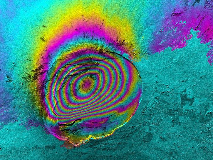
This presentation demonstrates how to process Sentinel-1 Interferometric Synthetic Aperture Radar (InSAR) GAMMA SBAS time series using HyP3.
Sept. 20, 2023,9:00 a.m. - 5:00 p.m. EDT(1300-2100 UTC)
This video introduces users to a range of topics related to the NASA/Indian Space Research Organization (ISRO) Synthetic Aperture Radar (SAR) (NISAR) platform.
Sept. 20, 2023,9:00 a.m. - 5:00 p.m. EDT(1300-2100 UTC)
Learn about the data formats and tools you'll need to work with NASA/Indian Space Research Organization (ISRO) SAR (NISAR) data.
Sept. 19, 2023,9:00 a.m. - 5:00 p.m. EDT(1300-2100 UTC)

This webinar provides a demonstration of using NASA's Catalog of Archived Suborbital Earth Science Investigations (CASEI) for exploring past and present airborne and field campaign platforms, instruments, geophysical concepts, and data products.
Aug. 30, 2023,2:00-3:15 p.m. EDT(1800-1915 UTC)
SHOWING 8 OF 205