We are in the process of migrating all NASA Earth science data sites into Earthdata from now until end of 2026. Not all NASA Earth science data and resources will appear here until then. Thank you for your patience as we make this transition.
Read about the Web Unification Project
Webinars
Our online webinars, trainings, and workshops feature experts in various disciplines who share their knowledge in a particular subject area, from data in the cloud to specific data tools.
Featured Webinars

This NASA web-based tool enables near-real time monitoring of inland and coastal water quality across the U.S. and parts of Africa and South America.
July 1, 2026,2:00-3:00 p.m. EDT(1800-1900 UTC)

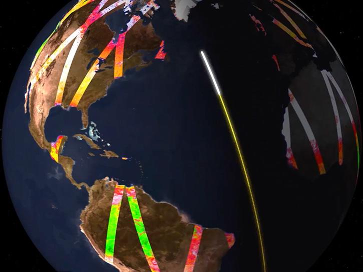
Learn how the Fire Information for Resource Management System (FIRMS) uses timely composite imagery to identify fire fronts, burned areas, and smoke.
July 16, 2026,2:00-3:30 p.m. EDT(1800-1930 UTC)

Diane Fritz, an associate scientist at NSIDC DAAC, demonstrates how to use the harmony-py Python library to customize data requests from the NASA Earthdata Cloud.
June 2, 2026,3:00-3:30 p.m. EDT(1900-1930 UTC)
Filters
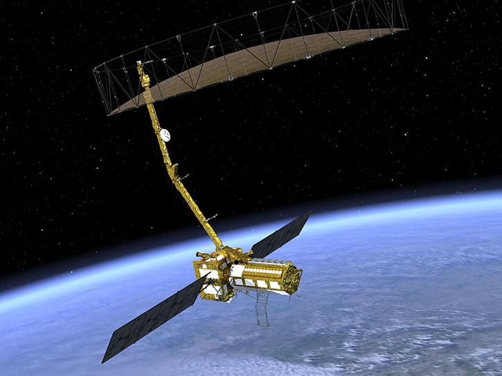
Learn how to work with sample data from the NASA/Indian Space Research Organization (ISRO) SAR (NISAR) platform.
Jan. 24, 2024,9:00 a.m. - 5:00 p.m. EST(1400-2200 UTC)
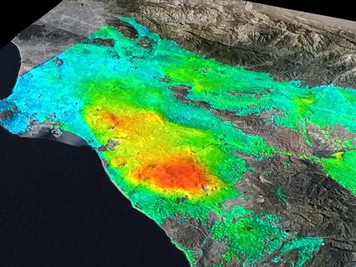
This presentation demonstrates how to calculate coefficient of variation with OpenScienceLab using OPERA RTC data.
Jan. 23, 2024,9:00 a.m. - 5:00 p.m. EST(1400-2200 UTC)
Learn how to discover, access, and work with NASA Observational Products for End-Users from Remote Sensing Analysis (OPERA) data in examining soil moisture using Vertex and a Jupyter Notebook data recipe.
Jan. 23-24, 2024,9:00 a.m. - 5:00 p.m. EST(1400-2200 UTC)
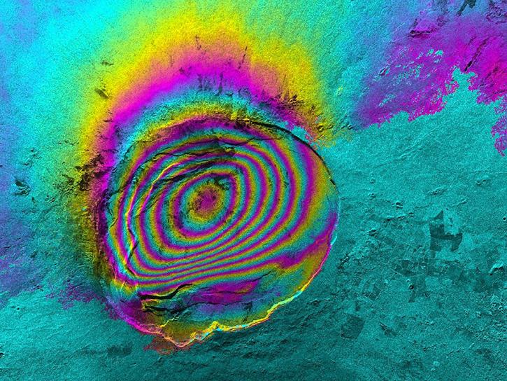
Eric Fielding provides an overview of the NASA/Indian Space Research Organization (ISRO) Synthetic Aperture Radar (NISAR) platform and its measurements and datasets.
Jan. 23-24, 2024,9:00 a.m. - 5:00 p.m. EST(1400-2200 UTC)

This presentation shows how to use the Vertex SAR data tool and the HyP3— which is a free service that offers on-demand processing of SAR data.
Jan. 23, 2024,9:00 a.m. - 5:00 p.m. EST(1400-2200 UTC)

In this video, Rudi Gens provides an introduction to NASA’s Observational Products for End-Users from Remote Sensing Analysis (OPERA) project data product suite.
Jan. 23-24, 2024,9:00 a.m. - 5:00 p.m. EST(1400-2200 UTC)
This video features an introduction to the agenda and logistics for Day 2 of the NISAR Early Adopters Program two-day workshop, January 23-24, 2024.
Jan. 23-24, 2024,9:00 a.m. - 5:00 p.m. EST(1400-2200 UTC)
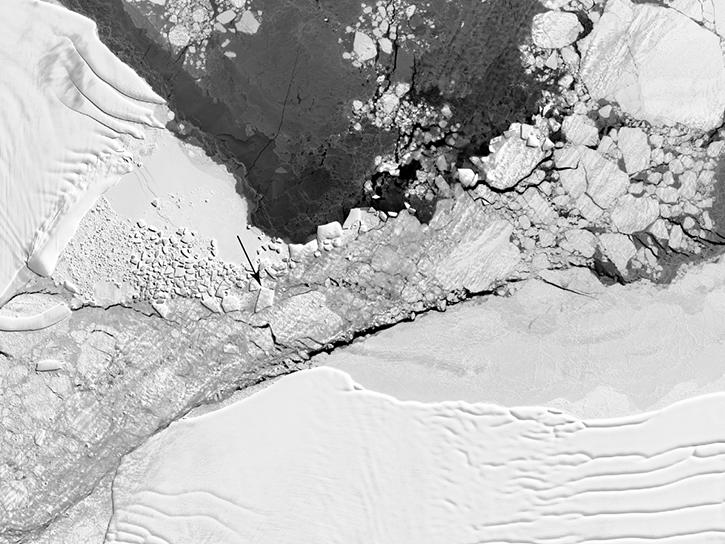
Experts from NASA's Alaska Satellite Facility (ASF) introduce the basic principles of synthetic aperture radar (SAR) data.
Jan. 23-24, 2024,9:00 a.m. - 5:00 p.m. EST(1400-2200 UTC)
SHOWING 8 OF 205