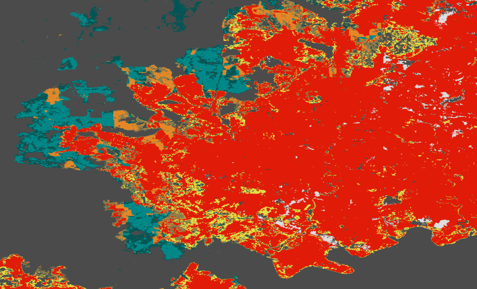
The Land Surface Disturbance product (DIST) shows when a change in land surface occurs outside of a historical norm. This near global product is based on Harmonized Landsat Sentinel-2 (HLS) imagery and is available at 30-meter resolution through the Observational Products for End-Users from Remote Sensing Analysis (OPERA) project.
Due to the lapse in federal government funding, NASA is not updating this website. We sincerely regret this inconvenience.
