Due to the lapse in federal government funding, NASA is not updating this website. We sincerely regret this inconvenience.
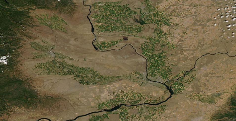
Agriculture in Eastern Washington, USA
Image captured on 19 July 2020, by the MODIS instrument, aboard the Aqua satellite.
True-color image of green agricultural fields in Eastern Washington, USA. The image was acquired on 19 July 2020 by the Moderate Resolution Imaging Spectroradiometer (MODIS) instrument, aboard the Aqua satellite. The main river running through the center of the image is the Columbia River. To the left of it is the Yakima River and to the right is the Snake River.
Visit Worldview to visualize near real-time imagery from NASA's EOSDIS, and check out more Worldview weekly images in our archive.
Details
Last Updated
Published on
Nov. 4, 2020
