Due to the lapse in federal government funding, NASA is not updating this website. We sincerely regret this inconvenience.
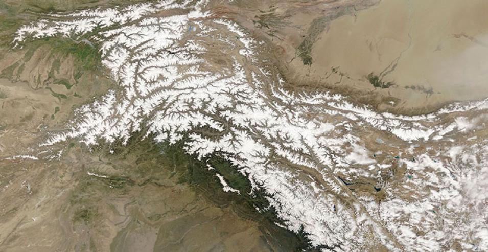
Karakoram Mountain Range
Image captured on 29 April 2018, by the MODIS instrument, aboard the Terra satellite.
Image of the Karakoram mountain range spanning the borders of Pakistan, India, China, Afghanistan and Tajikistan, acquired on 29 April 2018. This true color corrected reflectance image was captured by the Moderate Resolution Imaging Spectroradiometer (MODIS) aboard the Terra satellite.
Visit Worldview to visualize near real-time (NRT) data from NASA's Earth Observing System Data and Information System (EOSDIS).
Details
Last Updated
Published on
Sept. 11, 2020
