Delivery of Suomi National Polar-orbiting Partnership (Suomi NPP) satellite data products will cease on November 1, 2026. Data users should transition now to alternative products from NOAA-21 and NOAA-20.
Suomi NPP data announcement
Filters
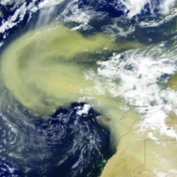
A unique campaign allows scientists to study the effects of Saharan dust storms on Atlantic hurricane development.
Feature Article
April 19, 2021
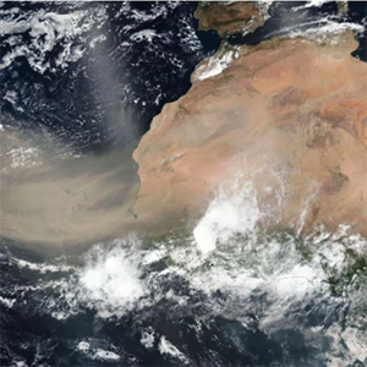
This ArcGIS StoryMap highlights Data User Profiles, Learning Resources and Worldview imagery layers in support of Earth Day 2021.
Feature Article
April 19, 2021
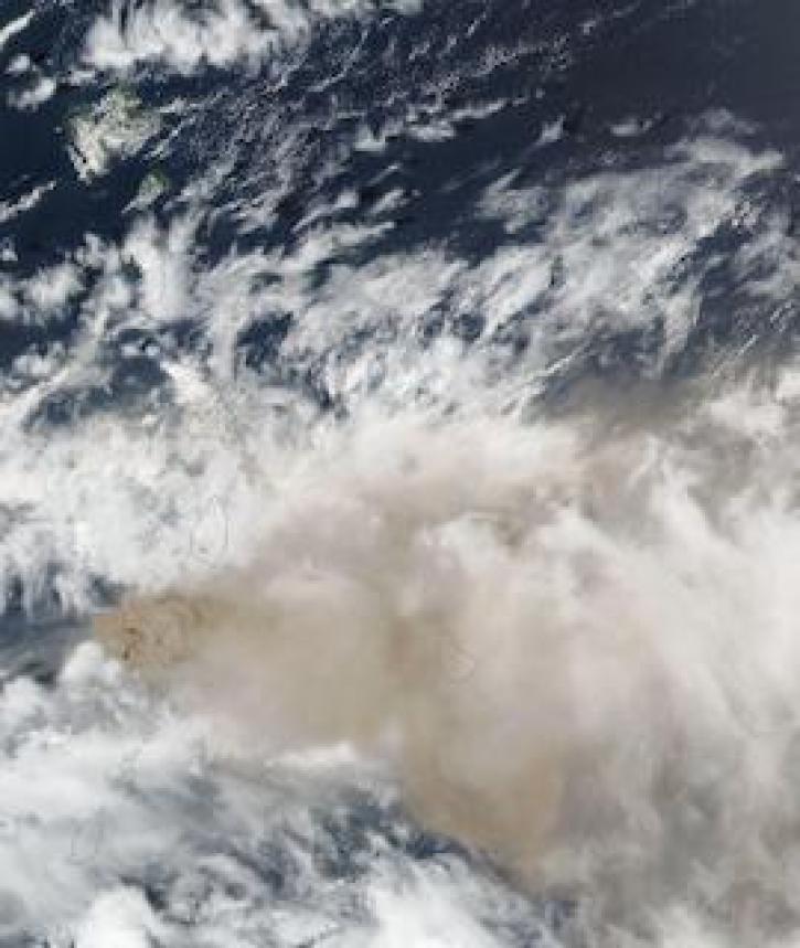
Image captured on 10 April 2021, by the VIIRS instrument, aboard the joint NASA/NOAA Suomi NPP satellite.
Worldview Image of the Week
April 19, 2021
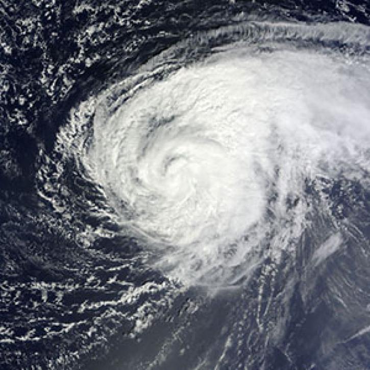
Unmanned aircraft probe the secrets of hurricanes.
Feature Article
April 19, 2021

One of the least industrial areas of Earth is a crossroads for pollution.
Feature Article
April 19, 2021
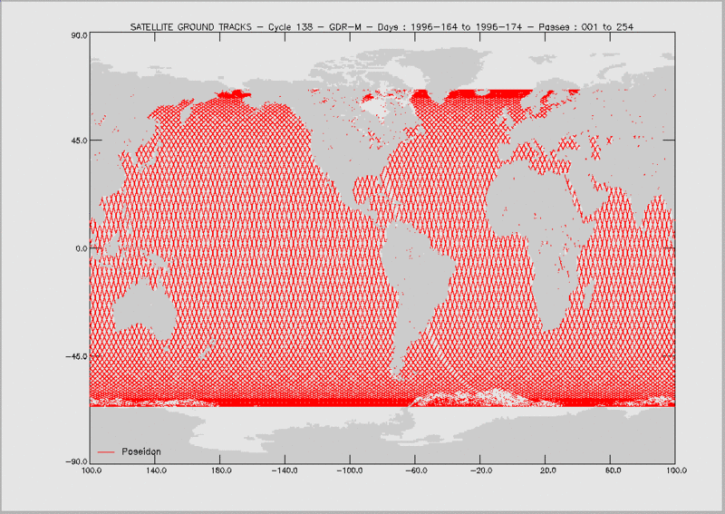
Knowing the precise location of a satellite in space is critical for determining sea surface height and, through this, the rate of global mean sea level rise.
Feature Article
April 19, 2021
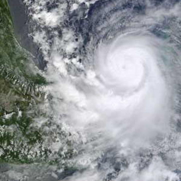
Hurricane researchers return, asking new questions.
Feature Article
April 19, 2021
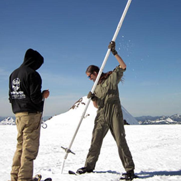
Learning how terrain shapes storms is no walk in the park.
Feature Article
April 19, 2021
SHOWING 8 OF 2410