Delivery of Suomi National Polar-orbiting Partnership (Suomi NPP) satellite data products will cease on November 1, 2026. Data users should transition now to alternative products from NOAA-21 and NOAA-20.
Suomi NPP data announcement
Filters

Data from the Harmonized Landsat and Sentinel-2 product and Worldview captured the change of seasons.
Worldview Image of the Week
May 15, 2026
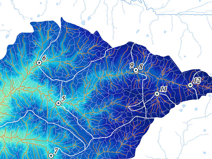
The NLDAS-2 dataset was added to the AIMS decision-making platform to create hydrology and water quality simulations for farmers and land managers across the country.
News
May 14, 2026
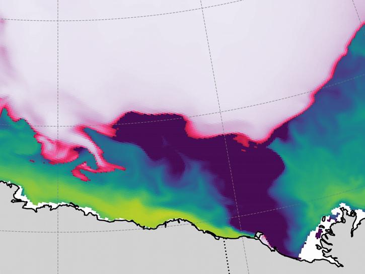
Arctic river discharge plays a key role in controlling early fall sea ice formation in the Beaufort Sea.
Data in Action
May 13, 2026
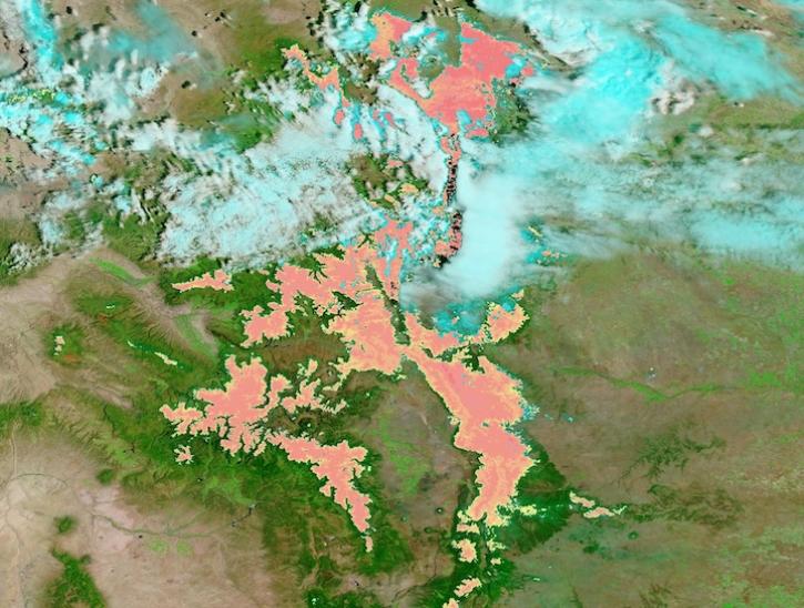
False-color Terra MODIS imagery and a snow cover index help distinguish clouds from snow on May 7, 2026.
Worldview Image of the Week
May 8, 2026

The MODIS instrument aboard the Terra platform captured this image on April 27, 2026.
Worldview Image of the Week
May 1, 2026
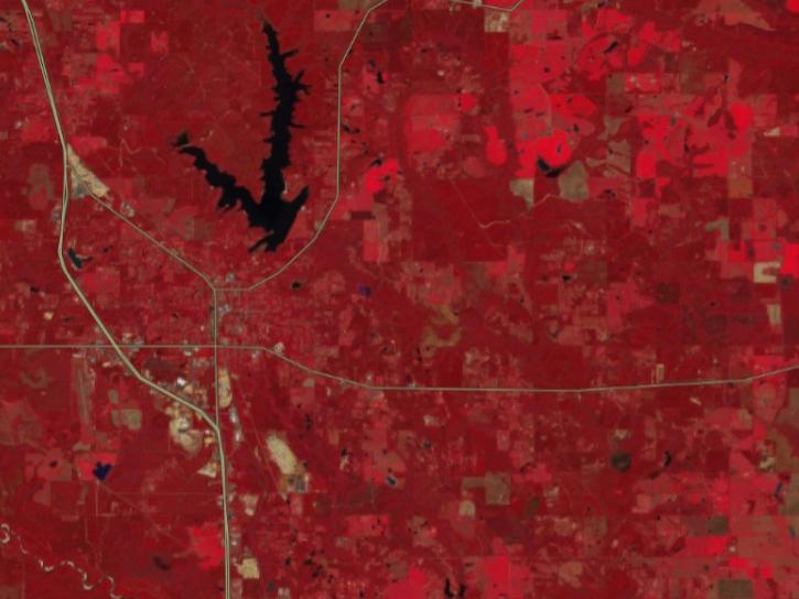
FIRMS has incorporated additional capabilities into the HLS dropdown menu of its interactive map, including four vegetation indices and the ability for user to create their own red, green, blue (RGB) image composites through the TiTiler-CMR service.
Tutorial
April 29, 2026
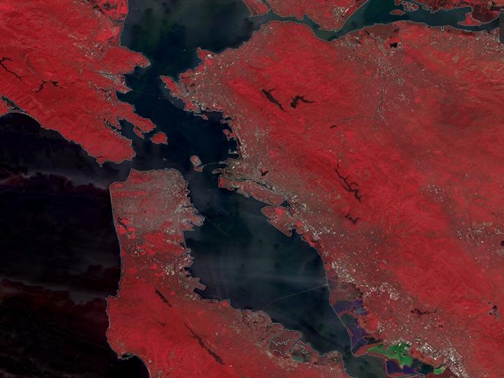
The TiTiler-CMR service generates dynamic, on-demand map tile layers that can be incorporated into GIS software and visualization applications. Two NASA mapping applications – Worldview and FIRMS – have harnessed the versatility of this service.
Feature Article
April 29, 2026
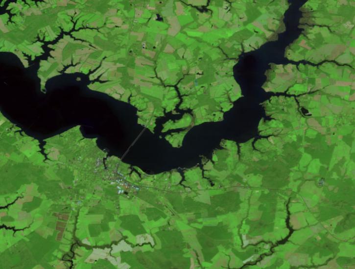
Create your own Harmonized Landsat Sentinel 2 (HLS) image composite or select from a preset list.
Tutorial
April 29, 2026
SHOWING 8 OF 2406