Delivery of Suomi National Polar-orbiting Partnership (Suomi NPP) satellite data products will cease on November 1, 2026. Data users should transition now to alternative products from NOAA-21 and NOAA-20.
Suomi NPP data announcement
Filters
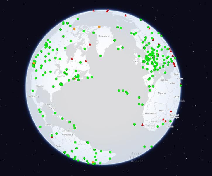
The International Global Navigation Satellite Systems Service (IGS), a voluntary federation of more than 200 self-funding entities, celebrates three decades of providing high-quality data.
Feature Article
Feb. 29, 2024
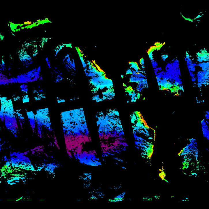
Simulated data help Plankton, Aerosol, Cloud, ocean Ecosystem (PACE) users prepare a day in the life of the new satellite.
Feature Article
Feb. 28, 2024
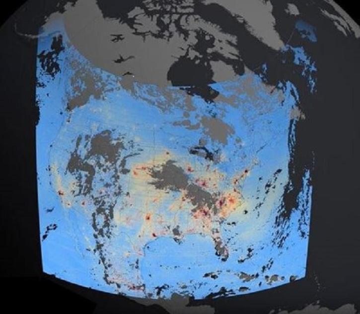
These new Tropospheric Emissions: Monitoring of Pollution (TEMPO) products will aid validation efforts and algorithm development, and will be used to expand the mission’s higher-level products.
Feature Article
Feb. 27, 2024

NASA's PO.DAAC hosted a SWOT Data Access Workshop titled "Remote Sensing of the Water Cycle" at AGU Chapman in Feb. 2024.
Blog
Feb. 24, 2024

The View Data tool lets users find and preview full-resolution MODIS and VIIRS atmospheric datasets prior to downloading.
Feature Article
Feb. 23, 2024
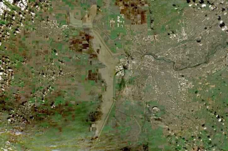
Image captured on Feb 18, 2024, by the MSI instrument aboard ESA's Sentinel 2B satellite.
Worldview Image of the Week
Feb. 22, 2024

NASA will fund 6 to 10 citizen science projects under the Research Opportunities in Space and Earth Sciences 2024 (ROSES-2024) solicitation. Notices of Intent (NOI) are due by April 15, 2024.
News
Feb. 20, 2024

Image captured on Feb 14, 2024, by the VIIRS instrument aboard the joint NASA/NOAA NOAA-20 satellite.
Worldview Image of the Week
Feb. 15, 2024
SHOWING 8 OF 2406