Delivery of new Suomi National Polar-orbiting Partnership (Suomi NPP) satellite observations will cease on November 2, 2026. Data users should transition now to alternative products from NOAA-21 and NOAA-20.
Suomi NPP data announcement
Dust/Ash/Smoke Learning Resources
Webinars, tutorials, data recipes and more to help you work with Dust/Ash/Smoke.
Filters
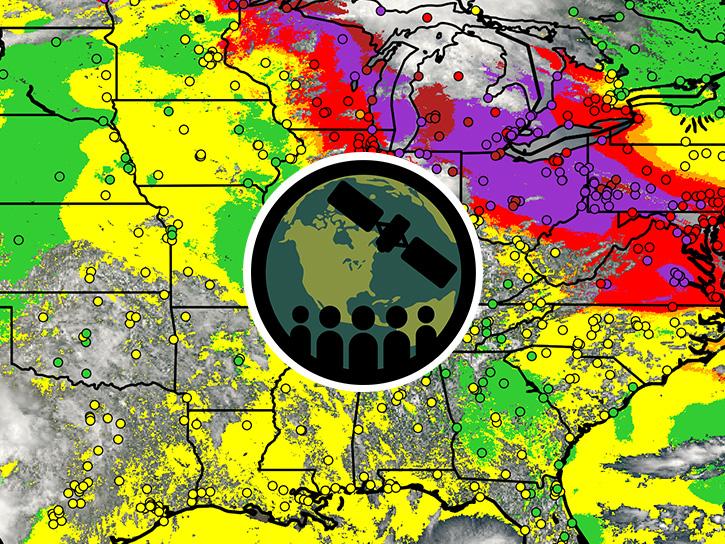
This ARSET training provides an overview of TEMPO aerosol products for air quality applications using NOAA's AerosolWatch website.
Training
Oct. 13-15, 2026
This notebook illustrates a comparison of ultra-violet aerosol index (UVAI) between the Tropospheric Emissions: Monitoring of Pollution (TEMPO) instrument and DSCOVR EPIC UVAI.
External Resource
Jupyter Notebook
April 10, 2026
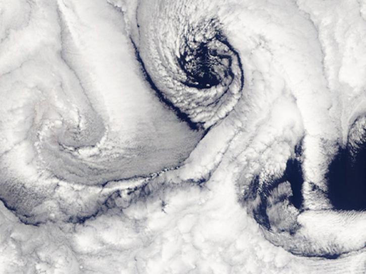
Researcher profile on ASDC's Dr. Armin Sorooshian.
StoryMap
April 15, 2026
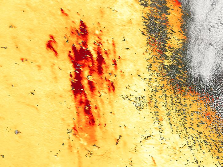
Agricultural burning in Kansas produces smoky skies and healthy crops.
Data in Action
June 6, 2025
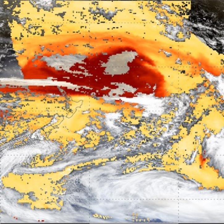
This webinar introduces the Geostationary Earth Orbit (GEO)-Low-Earth Orbit (LEO) Dark Target Aerosol data product suite and shows how to find, access, and download the data.
Webinar
May 16, 2024
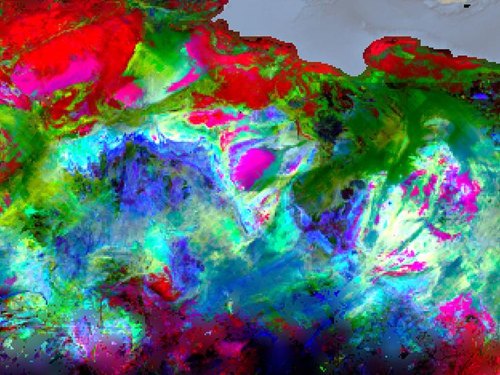
Join us June 28 at 2 p.m., EDT [UTC-4], to learn about NASA's Earth Surface Mineral Dust Source Investigation (EMIT) measurements and datasets along with how to discover, access, and work with EMIT data.
Webinar
June 8, 2023
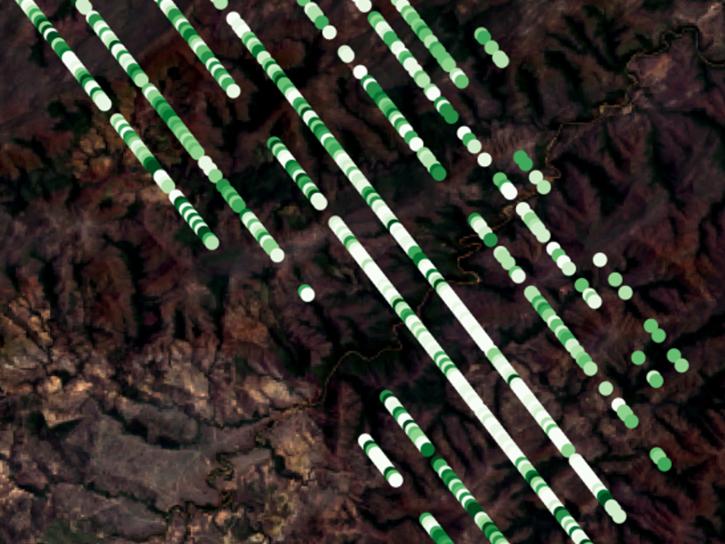
Read highlights of three publications that detail how NASA Earth observation data are used to map wildfire fuel loads, analyze volcanic ash composition, and improve soil respiration models in agricultural systems.
Data in Action
March 15, 2022
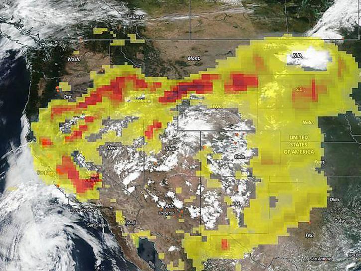
The CALIPSO satellite and the Earth Polychromatic Imaging Camera (EPIC) on NOAA’s DSCOVR satellite collected valuable data on one of the worst fires and fire seasons in California history.
Data in Action
Nov. 16, 2020
SHOWING 8 OF 11
Get Help
QUESTIONS & SUPPORT
Have a question?
Get help with NASA Earth science data, datasets, tools, services, and metadata on the Earthdata Forum. Experienced staff in the data user community review and answer questions.
Get help on Earthdata ForumEarthdata
Forum
Forum