Access a range of datasets and data tools to further your evapotranspiration research.
Evapotranspiration (ET) is the sum of water evaporation from the land surface and its transpiration, or movement, through vegetation. ET measurements are useful in monitoring and assessing water availability, drought conditions, and crop production. An increase in available energy from the Sun through reductions in cloud cover, seasonal lengthening of daylight, and similar variables favors plant growth, known as primary production, and ET. This, in turn, extracts available water from the soil and represents the largest component of water consumption in the U.S. If this soil water is not replenished through rain or irrigation, plants close their stomata to retain water and primary production is reduced. By comparing observed ET to a modeled expectation of crop water requirements, ET observations can be used to schedule irrigation applications and improve agricultural water management.
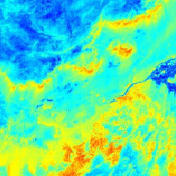
ET can't be measured directly with satellite instruments because it is modeled based on variables including land surface temperature, air temperature, and solar radiation. NASA has Level 4 data products that incorporate daily meteorological reanalysis data with remote sensing data that provide estimations of ET, such as the MODIS MOD16 product.
Learn How to Use Evapotranspiration Data
Join Our Community of NASA Data Users
While NASA data are openly available without restriction, an Earthdata Login is required to download data and to use some tools with full functionality.
Learn About the Benefits of Earthdata LoginGet Help
QUESTIONS & SUPPORT
Get help with NASA Earth science data, datasets, tools, services, and metadata on the Earthdata Forum. Experienced staff in the data user community review and answer questions.
Get help on Earthdata ForumForum