
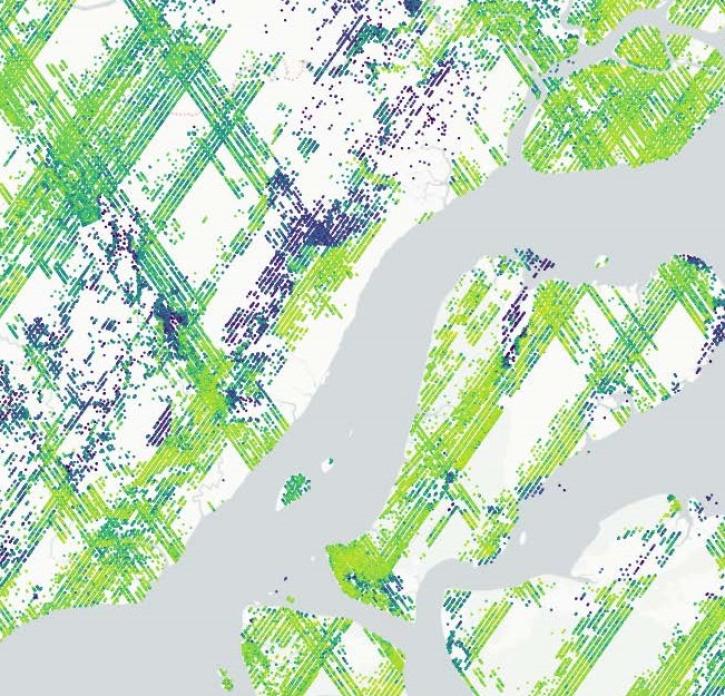
Terrestrial ecosystems, land-based communities of creatures, plants, and their surrounding environment, are an expansive focus of NASA's Earth observations. Observing such ecosystems allows us to understand the function and health of our own planet while also seeding us with knowledge to analyze how other worlds work. Researchers studying terrestrial ecosystems delve into a variety of topics including hydrology, meteorology, vegetation and forestry, topography, and wildfire.

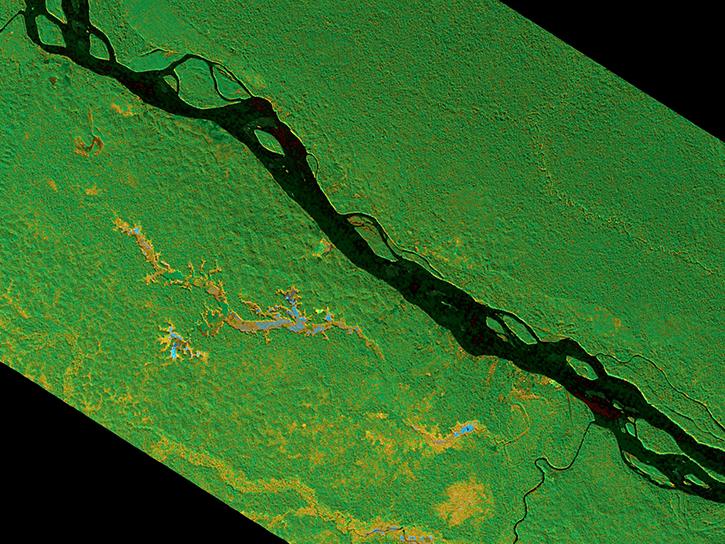
NASA has a powerful array of instruments for surveying ecosystems, including the Moderate Resolution Imaging Spectroradiometer (MODIS) and the Global Ecosystem Dynamics Investigation (GEDI) lidar. The datasets from these instruments detail ecosystems in many ways from vegetation indexes showing the extent of plant life in an area to synthetic aperture radar imagery offering precise topography measurements of forested peaks and valleys. In all, NASA's terrestrial ecosystem data give researchers accurate and exceptional information for studying natural life around the world.

Get Terrestrial Ecosystem Data

Access a range of datasets and data tools to further your terrestrial ecosystem research.

Learn How to Use Terrestrial Ecosystems Data

Access a range of webinars, tutorials, data recipes, and data stories to enhance your knowledge of Earth Observation data.
This graphic shows data from GEDI orbit tracks over forested areas in the eastern Amazon.
New GEDI Data Product Provides Estimates of Forest Canopy Complexity
The Global Ecosystem Dynamics Investigation (GEDI) mission’s new product offers insights into habitat quality and ecosystem function.
This thumbnail shows a part of the initial screen a user sees when accessing TESViS's FIxed Subset Tool. There is a grapscale map of the world, showing continents in white. In several places over the land masses are green dots representing the location of the more than 3,000 field and flux tower sites whose data is used in the validation of models and remote sensing products.
Data Tool in Focus: TESViS
Terrestrial Ecology Subsetting and Visualization Services (TESViS) supports ecological field research in easy-to-use formats.
forested wetlands around the Napo River in Ecuador and Peru
The SAR Handbook
The SAR Handbook was created in 2019 as a guide for forest monitoring and biomass estimation with synthetic aperture radar (SAR).
Dr. Anthony Walker
Data User: Dr. Anthony Walker
NASA’s wide range of ecological and atmospheric datasets help scientists such as Dr. Walker gain insight into how Earth’s terrestrial ecosystems respond to global change.
Discover and Visualize Terrestrial Ecosystem Data
NASA data help us understand Earth's changing systems in more detail than ever before, and visualizations bring these data to life, making Earth science concepts accessible, beautiful, and impactful.
Data visualization is a powerful tool for analysis, trend and pattern recognition, and communication. Our resources help you find world-class data visualizations to complement and enhance your research. We also have tools and tutorials to help you translate terrestrial ecosystem data into compelling visuals.
Image
TESViS’s Fixed Sites Subsets Tool provides customized subsets and visualizations of several MODIS/VIIRS land products and Daymet daily surface weather data for selected field and flux tower sites around the world.  This image shows a grayscale map of the world. On it are more than 3,000 green dots, which represent the location of fluxnet tower sites.
This image from the TESViS Fixed Sites Subsets Tool shows customized subsets and visualizations of several MODIS/VIIRS land products and Daymet daily surface weather data for selected field and flux tower sites around the world (indicated by green dots). Spatial subsets of the land products are available for predefined areas of about 8 x 8 km centered on the selected sites. Site-specific data can be downloaded in both comma separated value (.csv) and JSON formats. Credit: NASA's ORNL DAAC.

Join Our Community of NASA Data Users

While NASA data are openly available without restriction, an Earthdata Login is required to download data and to use some tools with full functionality.

Learn About the Benefits of Earthdata Login

Frequently Asked Questions

Earthdata Forum

Our online forum provides a space for users to browse thousands of FAQs about research needs, data, and data applications. You can also submit new questions for our experts to answer.

Submit Questions to Earthdata Forumand View Expert Responses

Earthdata
Forum