Access a range of datasets and data tools to further your terrestrial ecosystem research.
Terrestrial ecosystems, land-based communities of creatures, plants, and their surrounding environment, are an expansive focus of NASA's Earth observations. Observing such ecosystems allows us to understand the function and health of our own planet while also seeding us with knowledge to analyze how other worlds work. Researchers studying terrestrial ecosystems delve into a variety of topics including hydrology, meteorology, vegetation and forestry, topography, and wildfire.
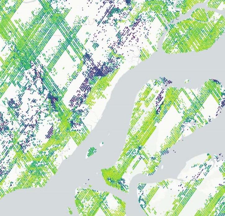
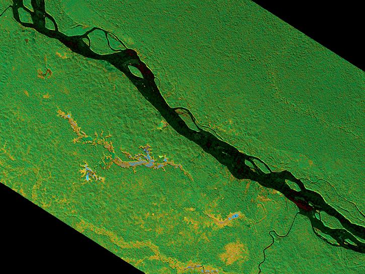
NASA has a powerful array of instruments for surveying ecosystems, including the Moderate Resolution Imaging Spectroradiometer (MODIS) and the Global Ecosystem Dynamics Investigation (GEDI) lidar. The datasets from these instruments detail ecosystems in many ways from vegetation indexes showing the extent of plant life in an area to synthetic aperture radar imagery offering precise topography measurements of forested peaks and valleys. In all, NASA's terrestrial ecosystem data give researchers accurate and exceptional information for studying natural life around the world.
Learn How to Use Terrestrial Ecosystems Data
Join Our Community of NASA Data Users
While NASA data are openly available without restriction, an Earthdata Login is required to download data and to use some tools with full functionality.
Learn About the Benefits of Earthdata LoginGet Help
QUESTIONS & SUPPORT
Get help with NASA Earth science data, datasets, tools, services, and metadata on the Earthdata Forum. Experienced staff in the data user community review and answer questions.
Get help on Earthdata ForumForum