Terrestrial Ecosystems Data Access and Tools
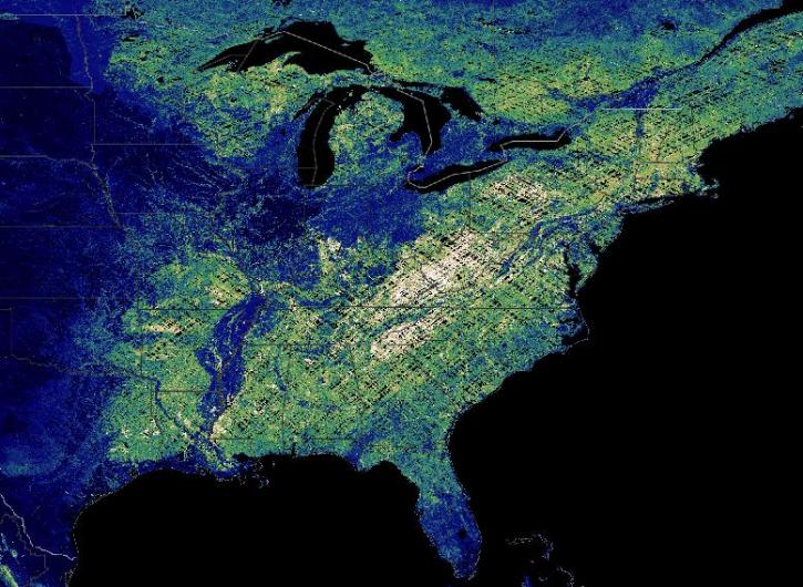
NASA has terrestrial ecosystem datasets that help researchers characterize natural areas around the world. Access a range of data and data tools such as AppEEARS, Worldview, and Giovanni to make the most of terrestrial ecosystem data.
Terrestrial Ecosystems Datasets
| Dataset | Version Sort ascending | Platforms | Instruments | Temporal Extent | Spatial Extent | Spatial Resolution | Data Format |
|---|---|---|---|---|---|---|---|
| SAFARI 2000 Pre- and Post-fire Reflectance near Kaoma, Zambia, Dry Season 2000 | 1 | FIELD INVESTIGATION | BALANCE, VISUAL OBSERVATIONS, SPECTRORADIOMETERS, QUADRATS | 2000-08-24 to 2000-09-04 |
N: -14.79 S: -14.79 E: 24.8 W: 24.8 |
multiple | |
| Gridded GEDI-Fusion Forest Structure Metrics across Six Western US States, 2016-2020 | 1 | ISS, COMPUTERS | GEDI, Computer | 2016-01-01 to 2020-12-31 |
N: 51.4317 S: 34.383 E: -101.728 W: -127.113 |
COG | |
| ABoVE: Tree Canopy Cover and Stand Age from Landsat, Boreal Forest Biome, 1984-2020 | 1 | LANDSAT-8, LANDSAT-7, LANDSAT-5, COMPUTERS | OLI, TIRS, ETM+, MSS, TM, Computer | 1984-01-01 to 2020-12-31 |
N: 73 S: 45 E: 180 W: -180 |
COG | |
| CMS: LiDAR-derived Estimates of Aboveground Biomass at Four Forested Sites, USA | 1 | ALOS | LIDAR | 2011-01-01 to 2011-12-31 |
N: 43.96 S: 35.78 E: -76.36 W: -123.61 |
GeoTIFF | |
| Annual Aboveground Biomass Maps for Forests in the Northwestern USA, 2000-2016 | 1 | Airplane, MODELS | LIDAR, Computer | 2000-01-01 to 2016-12-31 |
N: 50.7921 S: 39.8116 E: -110.312 W: -127.524 |
GeoTIFF | |
| Net Radiation and Albedo from MODIS for Xingu River Basin, Brazil, 2000-2012 | 1 | SATELLITES, COMPUTERS | MODIS, Computer | 2000-02-18 to 2012-11-16 |
N: -9.5717 S: -15.0697 E: -51.2324 W: -55.6935 |
netCDF-4 classic | |
| SAFARI 2000 FPAR TRAC Data for Mongu, Zambia, 1999-2002 | 1 | FIELD INVESTIGATION | PYRANOMETERS | 1999-08-10 to 2002-02-23 |
N: -14.9342 S: -16.8667 E: 24.2773 W: 22.0276 |
Shapefile | |
| SAFARI 2000 Historical Fire Maps, Kruger National Park, 1992-2001 | 1 | NOT APPLICABLE | NOT APPLICABLE | 1992-05-11 to 2001-03-31 |
N: -22.327 S: -25.529 E: 32.034 W: 30.888 |
Shapefile | |
| ERS-2 Level 1 Product | 1 | ERS-2 | SAR | 1995-10-01 to 2011-07-04 |
N: 90 S: -90 E: 180 W: -180 |
||
| BOREAS TE-05 CO2 Concentration and Stable Isotope Composition | 1 | LABORATORY | MASS SPECTROMETERS, IRGA | 1994-05-25 to 1994-09-08 |
N: 55.92 S: 53.62 E: -98.51 W: -106.19 |
ASCII |
Pagination
Frequently Asked Questions
Earthdata Forum
Our online forum provides a space for users to browse thousands of FAQs about research needs, data, and data applications. You can also submit new questions for our experts to answer.
Submit Questions to Earthdata Forumand View Expert Responses

