We are in the process of migrating all NASA Earth science data sites into Earthdata from now until end of 2026. Not all NASA Earth science data and resources will appear here until then. Thank you for your patience as we make this transition.
Read about the Web Unification Project
Coastal Processes Learning Resources
Webinars, tutorials, data recipes and more to help you work with Coastal Processes.
Filters
This ARSET training focuses on NASA products available to assess sea level change.
Training
June 10-17, 2025

This ARSET training focuses on flood risk, heat stress, and drought effects on agricultural landscapes in refugee settings.
Training
June 6-20, 2024

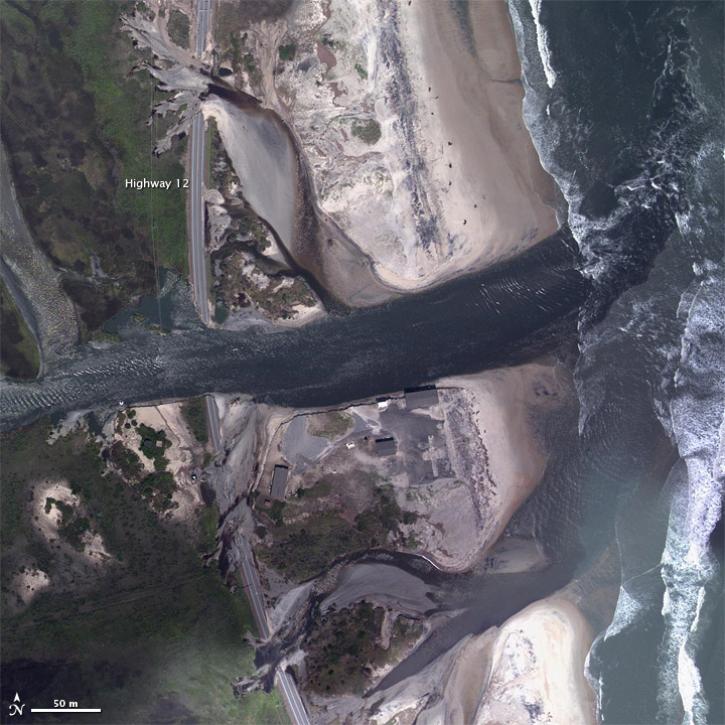
Research shows that coastal sea surface temperatures could be used as a proxy for detecting changes that are expected in the cycling of water between the oceans and continents.
Data in Action
April 18, 2024
Understanding Needs to Broaden Outside Use of NASA Data for Coastal Issues (UNBOUND CI) is a multi-session virtual workshop for data practitioners involved in coastal zone management, flood risk management, sea-level rise, and subsidence issues to help make NASA Earth science data products more discoverable and suitable for addressing issues in coastal zones.
Event
Aug. 8, 2023

This ARSET training focuses on developments and updates in flood monitoring tools and flood modeling techniques.
Training
Sept. 14-21, 2022


NASA Models Reveal Climate-Induced and Management Impacts on the Mississippi River Delta
StoryMap
Feb. 1, 2022
SHOWING 8 OF 26
Frequently Asked Questions
Earthdata Forum
Our online forum provides a space for users to browse thousands of FAQs about research needs, data, and data applications. You can also submit new questions for our experts to answer.
Submit Questions to Earthdata Forumand View Expert Responses