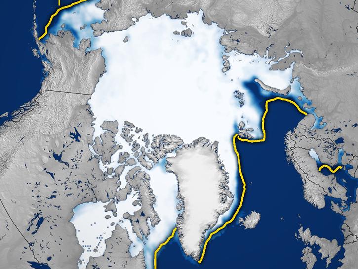
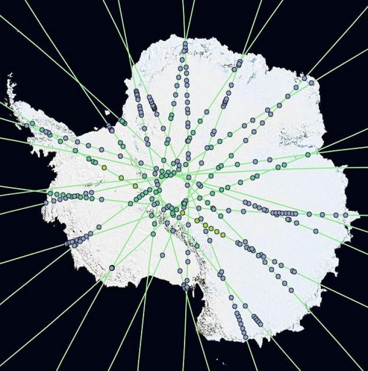
The 700,000 square kilometers of glaciers and ice sheets in the world make up 10% of Earth's total land area and are located on every continent except Australia. Glaciers typically develop when old accumulations of snow in mountains transform to ice. The ice builds up layer after layer, year after year, and flow into valleys. As glaciers age, the size of their crystals increase, some growing to be bigger than a baseball. There are also flat, glacial ice sheets more than 50,000 square kilometers in size that previously covered approximately 30% of the ocean and 30% of all land. Today, only two such dome-shaped "ice caps" remain in Greenland and Antarctica.
Scientists and decision-makers study glaciers and ice sheets because they are important sources of water and aquatic nutrients, are greatly affected by and influence weather, shape land, can pose a hazard to communities, and contribute to sea-level rise and the health of ocean environments. Researchers can rely on NASA’s glacier and ice sheet data to accurately measure their size and determine how these massive ice giants affect our world. One major source of glacier data are the twin Gravity Recovery and Climate Experiment (GRACE) satellites measuring the movements of mass within and between Earth’s atmosphere, oceans, land, and ice sheets.