Access a range of datasets and data tools to further your sea ice research.
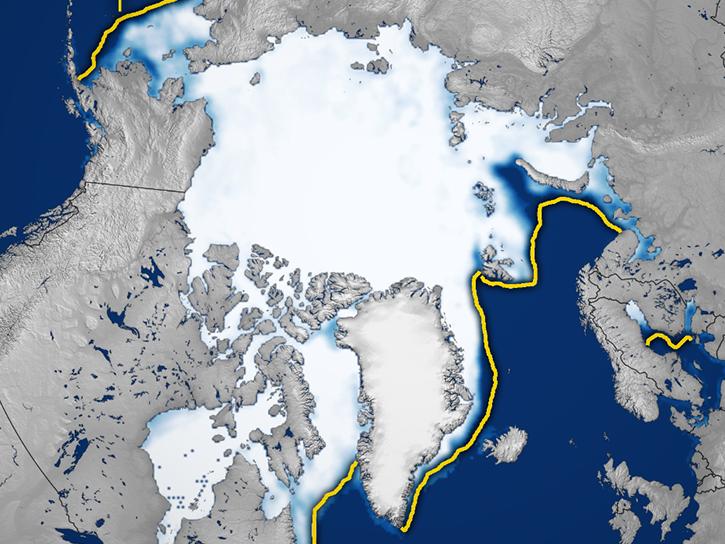
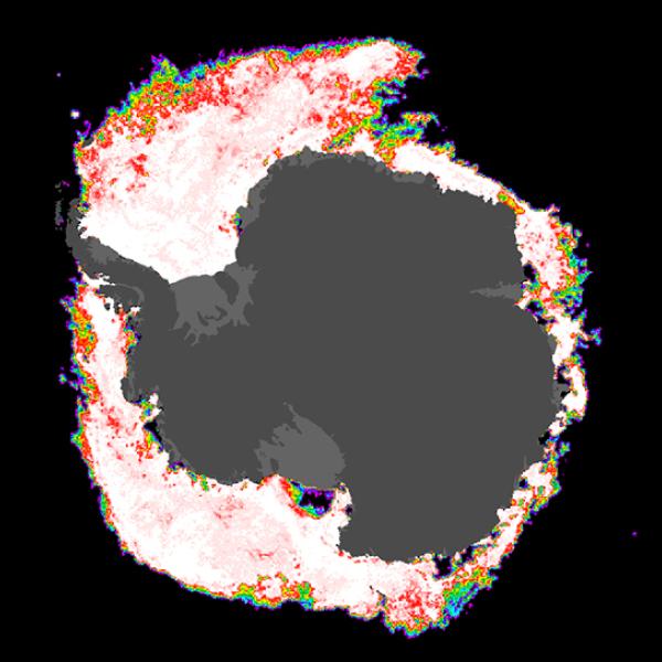
Sea ice is ocean water that freezes and floats on the ocean surface in and near the polar regions. Sea ice grows throughout the fall and winter, and melts throughout the spring and summer. It reflects most of the sunlight reaching its surface, cooling the local environment. The retreat of sea ice exposes darker ocean water, which absorbs most of the sunlight reaching its surface and warms the local environment.
Sea ice is concentrated largely in the Arctic and Antarctic regions, and functions as a key part of polar ecosystems. Channels within sea ice can fill with salt water and provide habitats for primary producers such as algae and plankton to thrive, which also allows larger animals to gain sustenance amid the ice. Ships hoping to navigate Arctic waters have to take sea ice into account to ensure they can safely reach their destinations.
NASA’s Earth-observing instruments collect data useful to the study of sea ice, including reflectance data, ocean wind and wave data, and currents data. These products help researchers learn more about weather and climate, polar ecosystems, and best practices for shipping.
Learn How to Use Sea Ice Data
Join Our Community of NASA Data Users
While NASA data are openly available without restriction, an Earthdata Login is required to download data and to use some tools with full functionality.
Learn About the Benefits of Earthdata LoginGet Help
QUESTIONS & SUPPORT
Get help with NASA Earth science data, datasets, tools, services, and metadata on the Earthdata Forum. Experienced staff in the data user community review and answer questions.
Get help on Earthdata ForumForum