Due to the lapse in federal government funding, NASA is not updating this website. We sincerely regret this inconvenience.
Environmental Assessments Learning Resources
Webinars, tutorials, data recipes and more to help you work with Environmental Assessments.
Filters
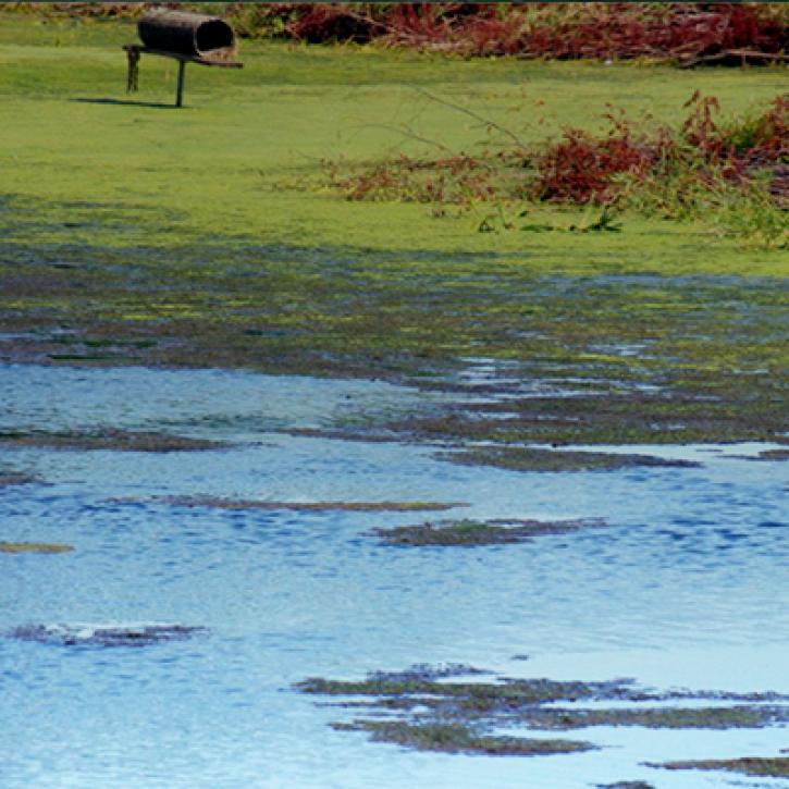
NASA Land Surface Models Capture Water Quality Trends in the Upper Mississippi Basin
StoryMap
Feb. 1, 2022

The West Africa Atlas uses ASTER data, aerial imagery, and ground images to illustrate changes and responses to environmental challenges in 17 countries.
Data in Action
March 1, 2017
SHOWING 2 OF 2
Frequently Asked Questions
Earthdata Forum
Our online forum provides a space for users to browse thousands of FAQs about research needs, data, and data applications. You can also submit new questions for our experts to answer.
Submit Questions to Earthdata Forumand View Expert Responses