Due to the lapse in federal government funding, NASA is not updating this website. We sincerely regret this inconvenience.
Environmental Governance/Management Learning Resources
Webinars, tutorials, data recipes and more to help you work with Environmental Governance/Management.
Filters
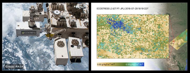
NASA's ECOSTRESS Mission studies how plants use water by measuring their temperature from space. Join us to learn more about ECOSTRESS mission measurements, data and tools!
Webinar
Feb. 18, 2020
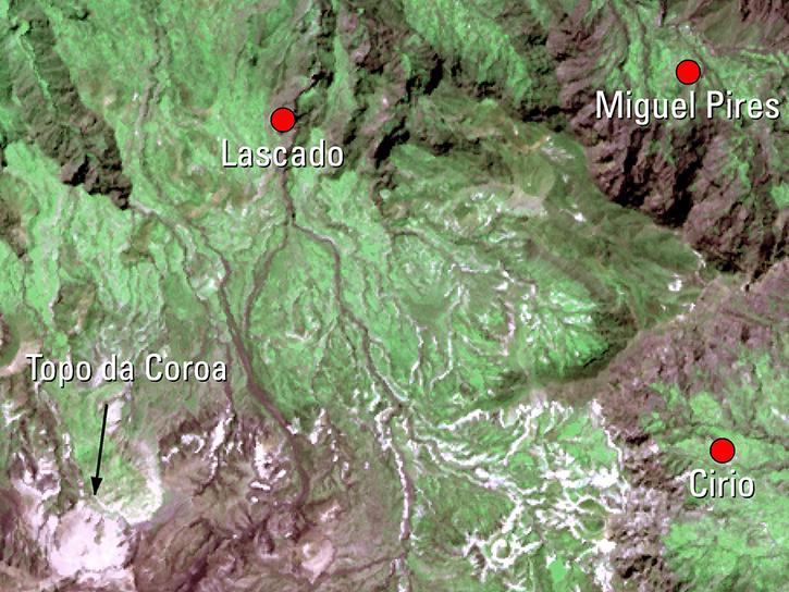
The West Africa Atlas uses ASTER data, aerial imagery, and ground images to illustrate changes and responses to environmental challenges in 17 countries.
Data in Action
March 1, 2017
See how MODIS data are used to determine areas susceptible to water-stress to show the relative health of the vegetation compared to the same area with healthy vegetation.
Data in Action
June 25, 2015
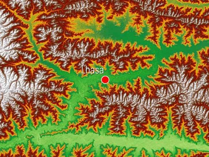
See how digital elevation models are used to create three-dimensional data visualizations, which provide an insightful perspective on landscapes.
Data in Action
Aug. 18, 2014
Pagination
SHOWING 4 OF 28
Frequently Asked Questions
Earthdata Forum
Our online forum provides a space for users to browse thousands of FAQs about research needs, data, and data applications. You can also submit new questions for our experts to answer.
Submit Questions to Earthdata Forumand View Expert Responses


