We are in the process of migrating all NASA Earth science data sites into Earthdata from now until end of 2026. Not all NASA Earth science data and resources will appear here until then. Thank you for your patience as we make this transition.
Read about the Web Unification Project
Environmental Health Factors Learning Resources
Webinars, tutorials, data recipes and more to help you work with Environmental Health Factors.
Filters

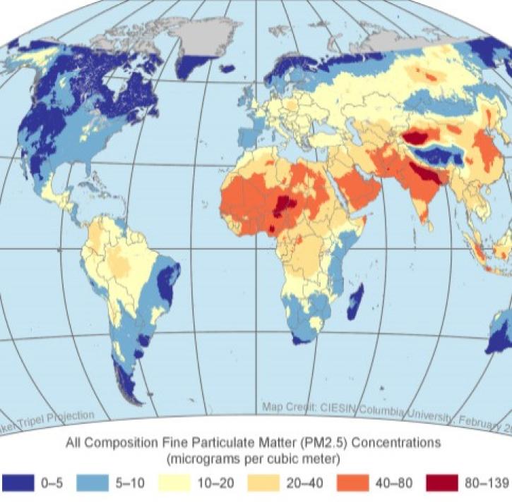
This training covers the theoretical approaches and key datasets to estimate historical PM2.5 from satellite aerosol optical depth.
Training
July 8-22, 2026
Esta capacitación cubre las metodologías teóricas y los conjuntos de datos clave para la estimación de PM2.5 histórico a partir de la profundidad óptica de aerosoles.
Training
July 8-22, 2026

This ARSET training explores the fundamentals of thermal infrared remote sensing and some applications using ECOSTRESS data to analyze urban heat.
Training
May 26 - June 2, 2026

This ARSET training helps scientists and partners increase the usability and relevance of their Earth science-based products, datasets, and tools.
Training
Ongoing
Join us Nov 30 for an introduction and analysis of NASA SEDAC's datasets for air quality and health impacts of exposed populations.
Webinar
Nov. 8, 2022

This ARSET training provides an overview of geostationary capabilities for monitoring air quality around the world.
Training
Oct. 11-25, 2022

This ARSET training provides hands-on exercises to measure urban heat islands and construct heat vulnerability indices.
Training
Aug. 2-11, 2022

This training builds capacity to apply Python codes and other online tools to work with datasets from NASA's Goddard Earth Observing System (GEOS).
Training
Feb. 22 - March 1, 2022
SHOWING 8 OF 21
Frequently Asked Questions
Earthdata Forum
Our online forum provides a space for users to browse thousands of FAQs about research needs, data, and data applications. You can also submit new questions for our experts to answer.
Submit Questions to Earthdata Forumand View Expert Responses