We are in the process of migrating all NASA Earth science data sites into Earthdata from now until end of 2026. Not all NASA Earth science data and resources will appear here until then. Thank you for your patience as we make this transition.
Read about the Web Unification Project
Floods Learning Resources
Webinars, tutorials, data recipes and more to help you work with Floods.
Filters
Esta capacitación de ARSET se centra en el uso de SAR para evaluar áreas en riesgo de desastres por deslizamientos de tierra con InSAR.
Training
Oct. 19-27, 2022
This ARSET training focuses on the use of SAR to assess areas at risk from disasters due to landslides through the use of interferometric SAR (InSAR).
Training
Oct. 19-27, 2022
Join us on Oct 26, 2022 at 2 p.m., ET, to learn how to discover, access, and use meteorological and hydrological datasets at NASA's GES DISC for studying flood events.
Webinar
Oct. 14, 2022
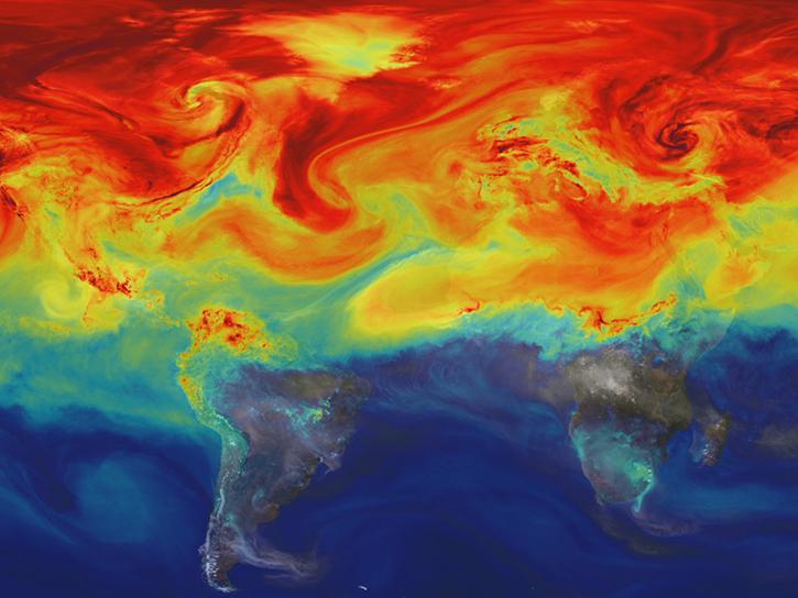
This training provides an overview of resources for choosing climate projection sets for mitigation, adaptation, and risk management applications.
Training
Sept. 19-20, 2022
This ARSET training focuses on developments and updates in flood monitoring tools and flood modeling techniques.
Training
Sept. 14-21, 2022
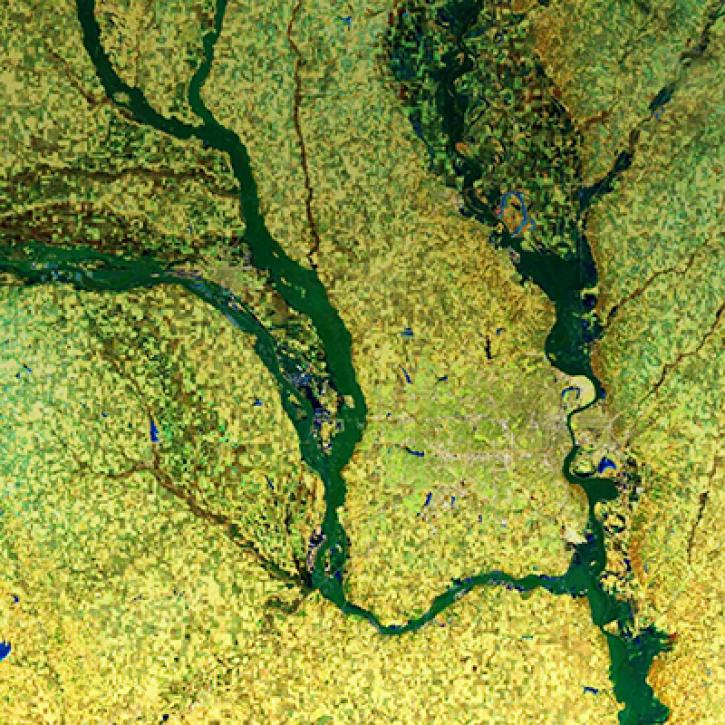
NASA Models and Remote Sensing Datasets Capture Cascading Impacts on Midwest Farmers
StoryMap
Feb. 1, 2022
In this webinar, we will demonstrate approaches for using SAR datasets in GIS environments to detect landscape change and map flooding events with a focus on Sentinel-1 datasets.
Webinar
July 10, 2020
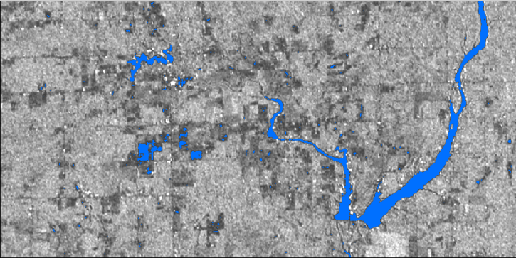
Sentinel-1 synthetic aperture radar (SAR) imagery is sensitive to standing water, making it an ideal tool for mapping the extent of floodwater covering an area.
Data Recipe
Dec. 3, 2017
Pagination
SHOWING 8 OF 19
Frequently Asked Questions
Earthdata Forum
Our online forum provides a space for users to browse thousands of FAQs about research needs, data, and data applications. You can also submit new questions for our experts to answer.
Submit Questions to Earthdata Forumand View Expert Responses


