Delivery of new Suomi NPP data ceases on Nov. 2, 2026. Users should transition to alternative products.
Suomi NPP data announcement
Floods Learning Resources
Webinars, tutorials, data recipes and more to help you work with Floods.
Filters
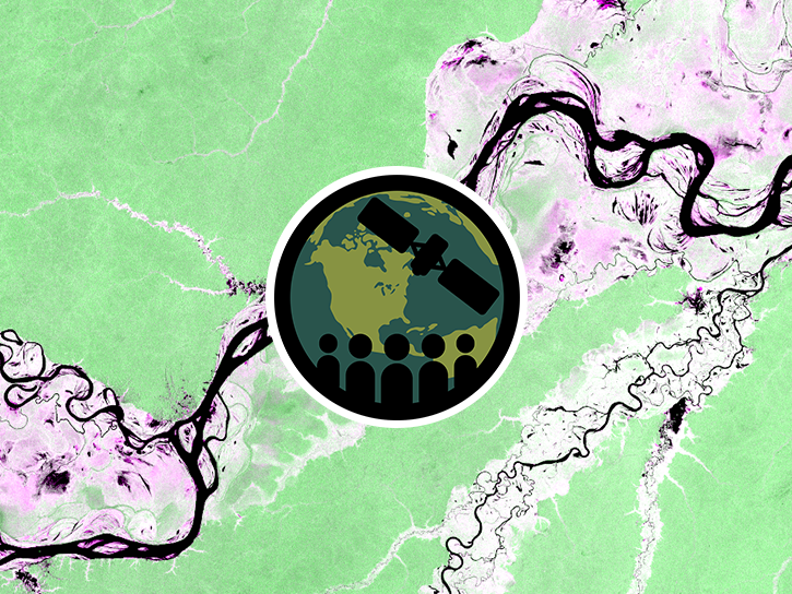
Esta capacitación de ARSET demuestra el uso de datos de NISAR y productos de aguas superficiales de OPERA para detectar, mapear y monitorear aguas superficiales.
Training
Oct. 20-27, 2026
This ARSET training demonstrates the use of NISAR SAR data and OPERA surface water products to detect, map, and monitor surface water.
Training
Oct. 20-27, 2026
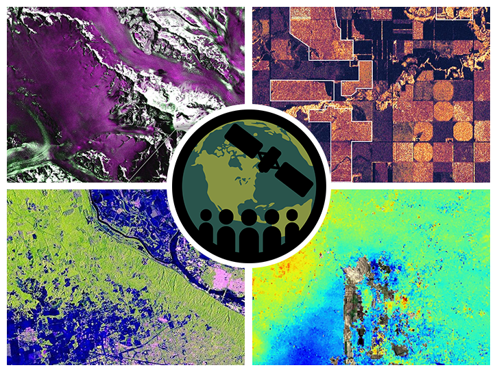
This ARSET training introduces users to the characteristics and data of the NISAR mission and demonstrates workflows for accessing, visualizing, and analyzing the data for a range of applications.
Training
July 2-16, 2026
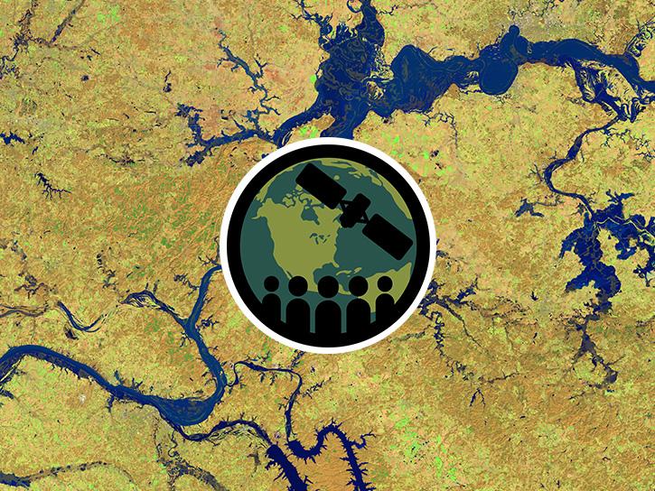
This three-part ARSET training covers flood monitoring via remote sensing, NASA flood products, and GEOGLOWS streamflow predictions.
Training
June 18-25, 2026
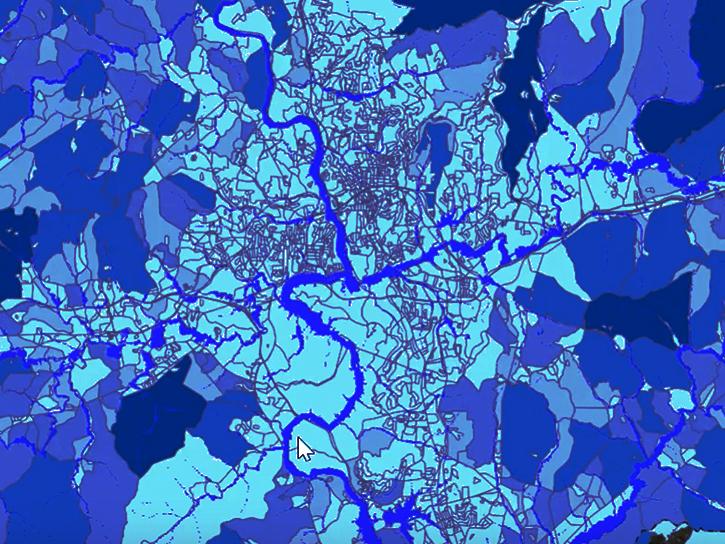
The Emergency Environmental Health Dashboard helped local communities assess water quality risks and infrastructure damage following Hurricane Helene and Tropical Storm Chantal.
Data in Action
Nov. 18, 2025
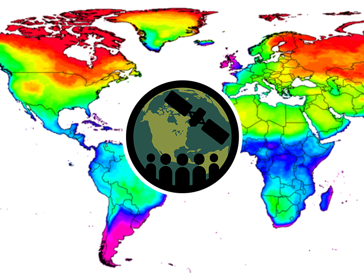
This ARSET training focuses on assessing projected statistics of extreme heat and cold wave events and extreme precipitation excess and deficit events.
Training
Sept. 10-17, 2025

Join us on Wed., September 17, 2025, at 2:00 p.m. EDT (-04:00 UTC) to learn how to discover, access, and use NASA's near real-time global flood products .
Webinar
Aug. 29, 2025
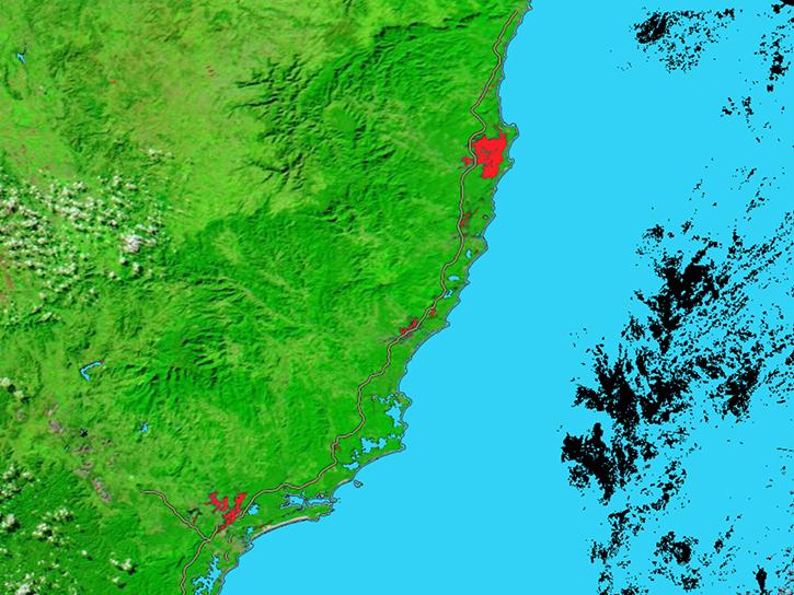
The MODIS Near Real-Time (NRT) Global Flood Product helps communities assess the aftermath of flooding in Australia.
Data in Action
July 17, 2025
SHOWING 8 OF 36
Get Help
QUESTIONS & SUPPORT
Have a question?
Get help with NASA Earth science data, datasets, tools, services, and metadata on the Earthdata Forum. Experienced staff in the data user community review and answer questions.
Get help on Earthdata ForumEarthdata
Forum
Forum