Delivery of Suomi National Polar-orbiting Partnership (Suomi NPP) satellite data products will cease on November 1, 2026. Data users should transition now to alternative products from NOAA-21 and NOAA-20.
Suomi NPP data announcement
Floods Learning Resources
Webinars, tutorials, data recipes and more to help you work with Floods.
Filters
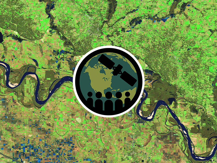
This ARSET training provides demonstrations and hands-on experience in using NASA remote sensing observations and flood mapping tools.
Training
March 16 - April 6, 2016
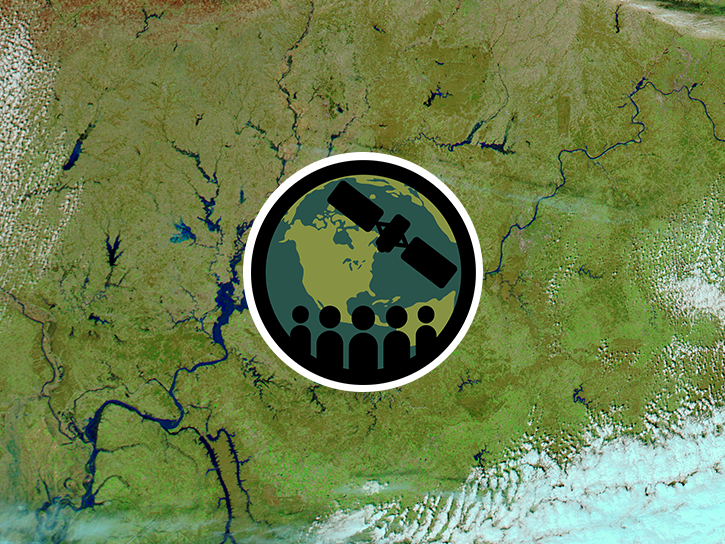
This ARSET training introduces remote sensing resources available for monitoring extreme precipitation and flooding as well as flood mapping tools.
Training
June 8-28, 2015
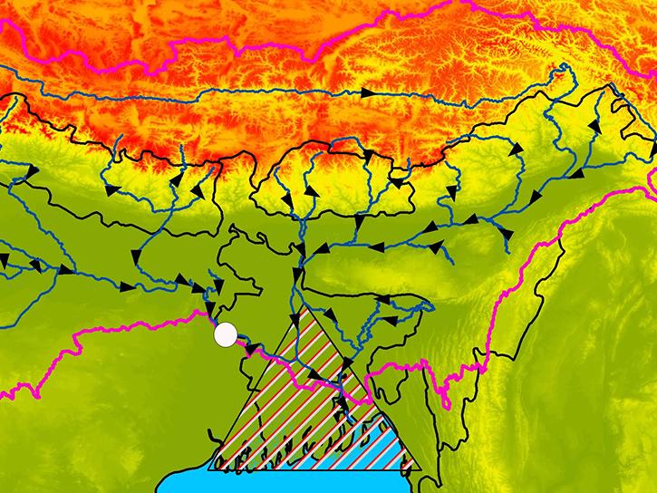
Learn how satellite altimetry is used to measure the heights of rivers and lakes.
Data in Action
May 11, 2015
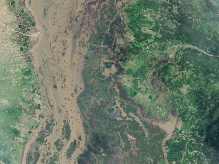
MODIS data captured the extensive flooding of the Shire River in Malawi and Mozambique, caused by unusually heavy rains and a tropical cyclone.
Data in Action
Feb. 15, 2015

Aquarius detected the effects of an extreme Mississippi river flooding event into the Gulf of America.
Data in Action
Nov. 11, 2013
SHOWING 5 OF 37
Frequently Asked Questions
Earthdata Forum
Our online forum provides a space for users to browse thousands of FAQs about research needs, data, and data applications. You can also submit new questions for our experts to answer.
Submit Questions to Earthdata Forumand View Expert Responses