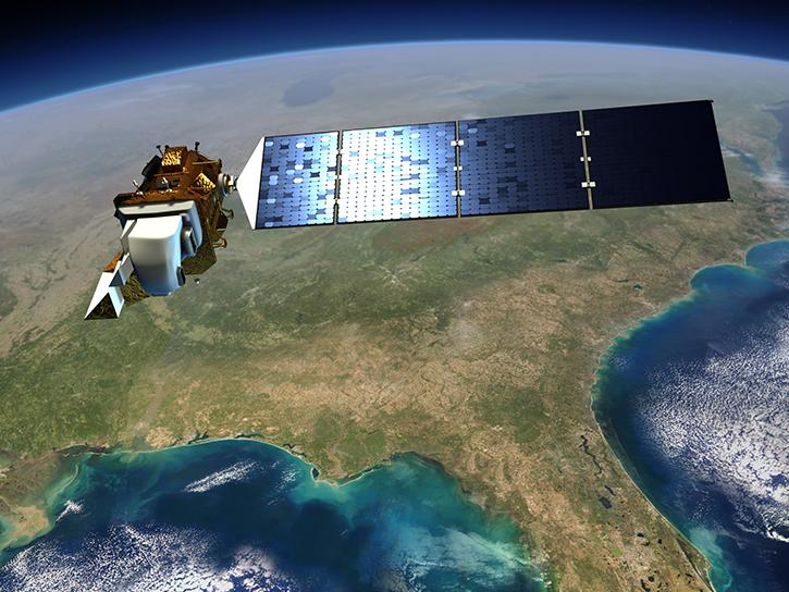
We are in the process of migrating all NASA Earth science data sites into Earthdata from now until end of 2026. Not all NASA Earth science data and resources will appear here until then. Thank you for your patience as we make this transition.
Read about the Web Unification Project
Natural Hazards Learning Resources
Webinars, tutorials, data recipes and more to help you work with Natural Hazards.
Filters

This TechTalk focuses on five computational challenges for rapid assessment of post-disaster areas using observation data.
Webinar
June 15, 2022

This ARSET training focuses on using NASA data products for monitoring human settlements and landscapes during armed conflict and forced displacement.
Training
June 14-23, 2022
Join us for an introduction to HLS data, services, and tools.
Webinar
May 18, 2022
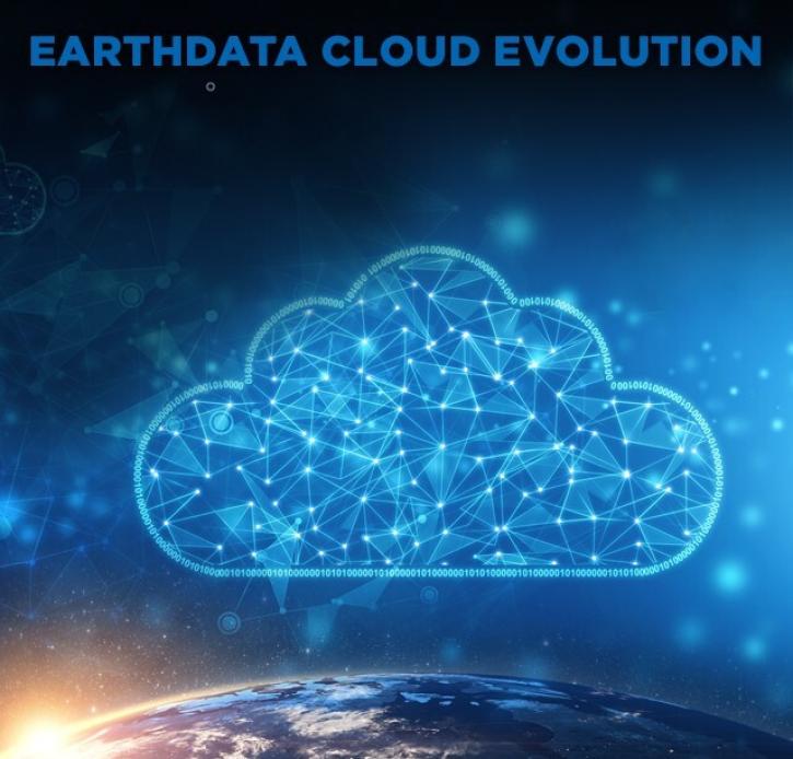
Join us to explore cloud-based data discovery, access, visualization, and analysis services at NASA's Global Hydrometeorology Resource Center Distributed Active Archive Center.
Webinar
May 18, 2022

Near real-time monitoring of tropical storms and observations of previous hurricanes.
StoryMap
April 28, 2022
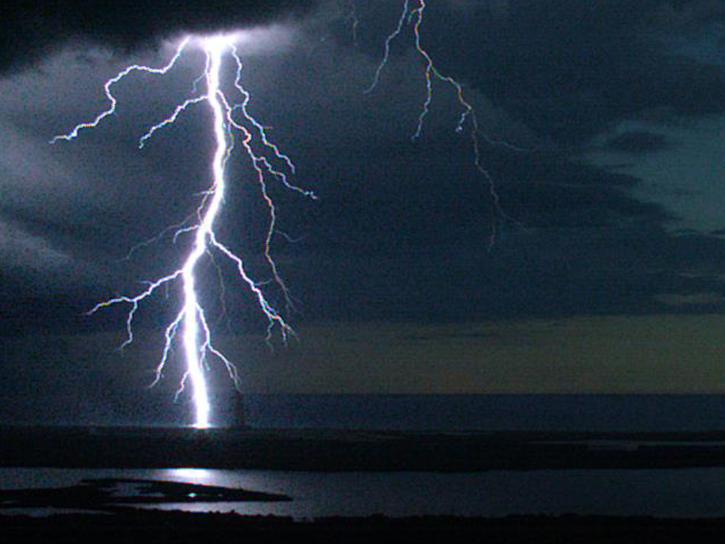
Join us to learn how the new International Space Station (ISS) Lightning Imaging Sensor (LIS) data can be used within Python, GIS and other applications to study lightning that occurred during the 2017 hurricane season.
Webinar
April 20, 2022

Join us to learn how to use NASA's Physical Oceanography Distributed Active Archive Center (PO.DAAC) State Of The Ocean (SOTO) toolkit to visualize and compare physical oceanography data!
Webinar
April 20, 2022

Join us on Wednesday, November 18, 2015 at 2pm ET to learn about the new NASA SEDAC Hazard Mapper and how to make a rapid assessment of potential hazard impacts.
Webinar
April 20, 2022
SHOWING 8 OF 156
Frequently Asked Questions
Earthdata Forum
Our online forum provides a space for users to browse thousands of FAQs about research needs, data, and data applications. You can also submit new questions for our experts to answer.
Submit Questions to Earthdata Forumand View Expert Responses