We are in the process of migrating all NASA Earth science data sites into Earthdata from now until end of 2026. Not all NASA Earth science data and resources will appear here until then. Thank you for your patience as we make this transition.
Read about the Web Unification Project
Natural Hazards Learning Resources
Webinars, tutorials, data recipes and more to help you work with Natural Hazards.
Filters
Join us Jan 25 at 2 p.m., ET [UTC -5], to learn how to use the Alaska Satellite Facility's OpenSARLab to work with synthetic aperture radar (SAR) data in the cloud.
Webinar
Jan. 10, 2023
Learn how to generate a time-height plot of the measured Hurricane and Severe Storm Sentinel (HS3) High-Altitude Imaging Wind and Rain Airborne Profiler (HIWRAP) radar reflectivity through a Python plotting routine.
Data Recipe
Dec. 2, 2022
This data recipe guides the user through a Python script that enables visualization of Optical Transient Detector (OTD) lightning flash locations.
Data Recipe
Dec. 2, 2022

This data recipe enables users to plot temporal subsets of the HS3 High Altitude MMIC Sounding Radiometer (HAMSR) Radar Reflectivity Profiles through a Python plotting routine.
Data Recipe
Dec. 1, 2022
This data recipe instructs users on how to generate vertical time-height plots of Hurricane and Severe Storm Sentinel (HS3) Global Hawk Cloud Physics Lidar (CPL) attenuated total backscatter measurements using a Python plotting routine.
Data Recipe
Dec. 1, 2022

Esta capacitación de ARSET cubre el uso de Radar de apertura sintética (SAR) interferométrico (InSAR) SAR para evaluar riesgo de deslizamientos.
Training
Oct. 19-27, 2022
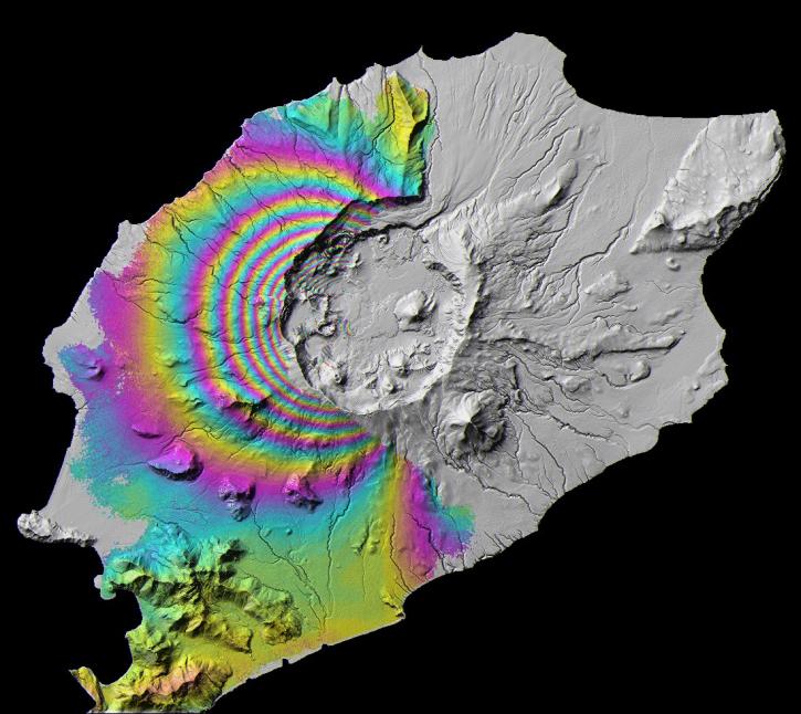
This ARSET training focuses on the use of SAR to assess areas at risk from disasters due to landslides through the use of interferometric SAR (InSAR).
Training
Oct. 19-27, 2022
Join us on Oct 26, 2022 at 2 p.m., ET, to learn how to discover, access, and use meteorological and hydrological datasets at NASA's GES DISC for studying flood events.
Webinar
Oct. 14, 2022
SHOWING 8 OF 156
Frequently Asked Questions
Earthdata Forum
Our online forum provides a space for users to browse thousands of FAQs about research needs, data, and data applications. You can also submit new questions for our experts to answer.
Submit Questions to Earthdata Forumand View Expert Responses