We are in the process of migrating all NASA Earth science data sites into Earthdata from now until end of 2026. Not all NASA Earth science data and resources will appear here until then. Thank you for your patience as we make this transition.
Read about the Web Unification Project
Natural Hazards Learning Resources
Webinars, tutorials, data recipes and more to help you work with Natural Hazards.
Filters

In this video tutorial, learn the basic and advanced features of NASA’s Fire Information for Resource Management System (FIRMS).
Tutorial
Aug. 22, 2024
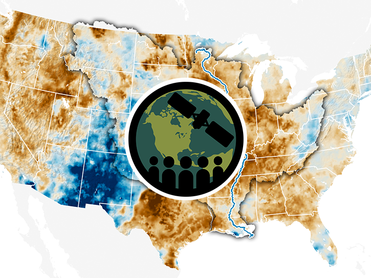
This ARSET training provides hands-on data analysis exercises for monitoring different types of drought (meteorological, hydrological, and agricultural).
Training
July 23 - Aug. 1, 2024

This ARSET training focuses on flood risk, heat stress, and drought effects on agricultural landscapes in refugee settings.
Training
June 6-20, 2024
Join NASA scientists and other decision-makers on Thursday, April 11, to explore the many ways NASA Earth science data are helping us to better understand and protect Earth—and how you can make a positive difference in improving life on our planet.
Webinar
March 27, 2024
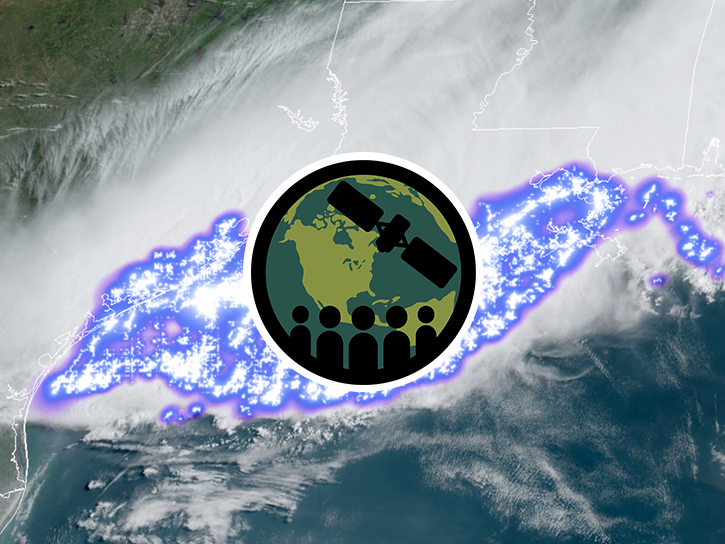
This ARSET training focuses on global and regional lightning data products that can be used for disaster risk preparedness.
Training
March 26 - April 2, 2024

This ARSET training helps scientists and partners increase the usability and relevance of their Earth science-based products, datasets, and tools.
Training
Ongoing

Esta capacitación amplía la teoría y aplicaciones de datos SAR para detectar y monitorear inundaciones usando series temporales de SAR.
Training
Oct. 24 - Nov. 1, 2023
This training expands on the theory and applications of SAR data to detect and monitor floods using SAR time-series.
Training
Oct. 24 - Nov. 1, 2023
SHOWING 8 OF 156
Frequently Asked Questions
Earthdata Forum
Our online forum provides a space for users to browse thousands of FAQs about research needs, data, and data applications. You can also submit new questions for our experts to answer.
Submit Questions to Earthdata Forumand View Expert Responses