Wherever there are people, there is water and the essential need to manage where it is, where it flows, and how it’s used. To do so, communities employ water management practices to control or move water resources to minimize damage to life and property and to maximize its safe, efficient, and beneficial use. Such practices can include building dams to control flooding, enacting rules and policies to prevent groundwater contamination, and monitoring water used by people for irrigation, industry or drinking. 

NASA research and data breakdown water management into four subtopics: groundwater, stormwater or wastewater management and water storage. Our data have many water management uses, such as monitoring cyanobacteria levels, monitoring droughts, and mapping the locations of inland waters.

Get Water Management Data

Access a range of datasets and data tools to further your water management research.

Learn How to Use Water Management Data
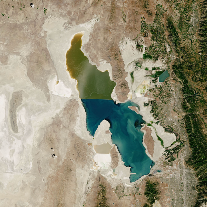
Image of lake in the desert with light areas around the lake indicating how far water level has declined
Connecting Western Water Managers with NASA Earth Science Data
NASA's Western Water Applications Office (WWAO) gets NASA Earth science data into the hands of Western U.S. water managers.
Headshot of Tom Parris
Data User: Thomas Parris
Data from NASA’s SEDAC help Thomas Parris assess the impact of water stress on agriculture, industries, and people around the globe.
Discover and Visualize Water Management Data
NASA data help us understand Earth's changing systems in more detail than ever before, and visualizations bring these data to life, making Earth science concepts accessible, beautiful, and impactful.
Data visualization is a powerful tool for analysis, trend and pattern recognition, and communication. Our resources help you find world-class data visualizations to complement and enhance your research. We also have tools and tutorials to help you translate water management data into compelling visuals.
Image
True color Landsat 9 image of Shasta Lake at low capacity, exposing the brown shoreline of the reservoir, on 14 August 2022
This true color/natural color corrected reflectance image of Shasta Lake in California shows exposed shorelines due to lower water capacity within the reservoir. The image was acquired on August 14, 2022 by the Operational Land Imager-2 (OLI-2) instrument aboard the joint NASA/USGS Landsat 9 satellite.

Join Our Community of NASA Data Users

While NASA data are openly available without restriction, an Earthdata Login is required to download data and to use some tools with full functionality.

Learn About the Benefits of Earthdata Login

Frequently Asked Questions

Earthdata Forum

Our online forum provides a space for users to browse thousands of FAQs about research needs, data, and data applications. You can also submit new questions for our experts to answer.

Submit Questions to Earthdata Forumand View Expert Responses

Earthdata
Forum