Due to the lapse in federal government funding, NASA is not updating this website. We sincerely regret this inconvenience.
Albedo Data Access and Tools
From discovery to visualization, data tools such as the Clouds and the Earth's Radiant Energy System (CERES) Subset/Visualization Tool, Earthdata Search, and Worldview guide users in making the most of albedo data.
Featured Albedo Observation Method: VIIRS
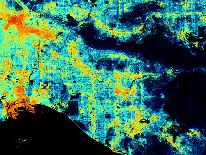
The Visible Infrared Imaging Radiometer Suite (VIIRS) flies aboard the joint NASA/NOAA Suomi National Polar-orbiting Partnership (Suomi NPP) and NOAA-platforms. VIIRS collects global observations of Earth's land, atmosphere, cryosphere, and ocean, including measurements of albedo.


The Visible Infrared Imaging Radiometer Suite (VIIRS) will help ensure continuity of Earth observations after the upcoming retirement of the Moderate Resolution Imaging Spectroradiometer (MODIS).
Greenbelt, MD
NASA's Land Science Investigator-led Processing System is responsible for processing, reprocessing, production and general assessment of the Suomi NPP Science Team standard and experimental Visible Infrared Imaging Radiometer Suite (VIIRS) land products.
Albedo Datasets
| Dataset | Platforms | Instruments | Temporal Extent | Location Keywords | Spatial Extent | Data Format |
|---|---|---|---|---|---|---|
| MODIS/Terra+Aqua Photosynthetically Active Radiation Daily/3-Hour L3 Global 1km SIN Grid V062 | Terra, Aqua | MODIS | 2000-02-24 to Present | GLOBAL | N: 90 S: -90 E: 180 W: -180 | HDF-EOS2 |
| MODIS/Terra+Aqua Photosynthetically Active Radiation Daily/3-Hour L3 Global 5km SIN Grid V006 | Terra, Aqua | MODIS | 2001-01-01 to 2022-09-30 | GLOBAL | N: 90 S: -90 E: 180 W: -180 | HDF-EOS2 |
| MODIS/Terra+Aqua Surface Radiation Daily/3-Hour L3 Global 1km SIN Grid V061 | Terra, Aqua | MODIS | 2000-02-24 to 2024-06-01 | GLOBAL | N: 90 S: -90 E: 180 W: -180 | HDF-EOS2 |
| MODIS/Terra+Aqua Surface Radiation Daily/3-Hour L3 Global 1km SIN Grid V062 | Terra, Aqua | MODIS | 2000-02-24 to Present | GLOBAL | N: 90 S: -90 E: 180 W: -180 | HDF-EOS2 |
| MODIS/Terra+Aqua Surface Radiation Daily/3-Hour L3 Global 5km SIN Grid V006 | Terra, Aqua | MODIS | 2001-01-01 to 2022-09-30 | GLOBAL | N: 90 S: -90 E: 180 W: -180 | HDF-EOS2 |
| NACP MsTMIP: Global 0.5-degree Model Outputs in Standard Format, Version 1.0 | MODELS | Computer | 1900-01-01 to 2010-12-31 | N: 90 S: -90 E: 180 W: -180 | netCDF-4 classic | |
| Net Radiation and Albedo from MODIS for Xingu River Basin, Brazil, 2000-2012 | SATELLITES, COMPUTERS | MODIS, Computer | 2000-02-18 to 2012-11-16 | BRAZIL, AMAZONIA | N: -9.5717 S: -15.0697 E: -51.2324 W: -55.6935 | netCDF-4 classic |
| PROVE Surface albedo of Jornada Experimental Range, New Mexico, 1997 | FIELD INVESTIGATION | PYRANOMETERS, CAMERAS | 1997-05-22 to 1997-05-27 | N: 32.5 S: 32.5 E: -106.75 W: -106.75 | CSV | |
| SAFARI 2000 AERONET-derived Diffuse Spectral Irradiance for Eight Core Sites | FIELD INVESTIGATION | SUN PHOTOMETERS | 2000-01-01 to 2000-12-31 | N: -15.4389 S: -25.0197 E: 31.4969 W: 15.9144 | CSV | |
| SAFARI 2000 Meteorological and Flux Tower Measurements in Maun, Botswana, 2000 | FIXED OBSERVATION STATIONS, FIELD INVESTIGATION | PYRANOMETERS, IRGA, PRESSURE TRANSDUCERS, TEMPERATURE PROBES, RTD, ANEMOMETERS, LICOR QUANTUM SENSOR, RAIN GAUGES, HUMIDITY SENSORS, SOIL MOISTURE PROBE, THERMOMETERS | 2000-02-01 to 2000-09-30 | N: -19.9 S: -19.9 E: 23.55 W: 23.55 | Shapefile |
SHOWING 10 OF 545
Frequently Asked Questions
Earthdata Forum
Our online forum provides a space for users to browse thousands of FAQs about research needs, data, and data applications. You can also submit new questions for our experts to answer.
Submit Questions to Earthdata Forumand View Expert Responses