We are in the process of migrating all NASA Earth science data sites into Earthdata from now until end of 2026. Not all NASA Earth science data and resources will appear here until then. Thank you for your patience as we make this transition.
Read about the Web Unification Project
Carbon (Soil) Data Access and Tools
From discovery to visualization, data tools such as Earthdata Search, Soil Moisture Visualizer, and the Application for Extracting and Exploring Analysis Ready Samples (AppEEARS) guide users in making the most of soil carbon data.
Table of contents
Featured Soil Carbon Observation Method: SMAP
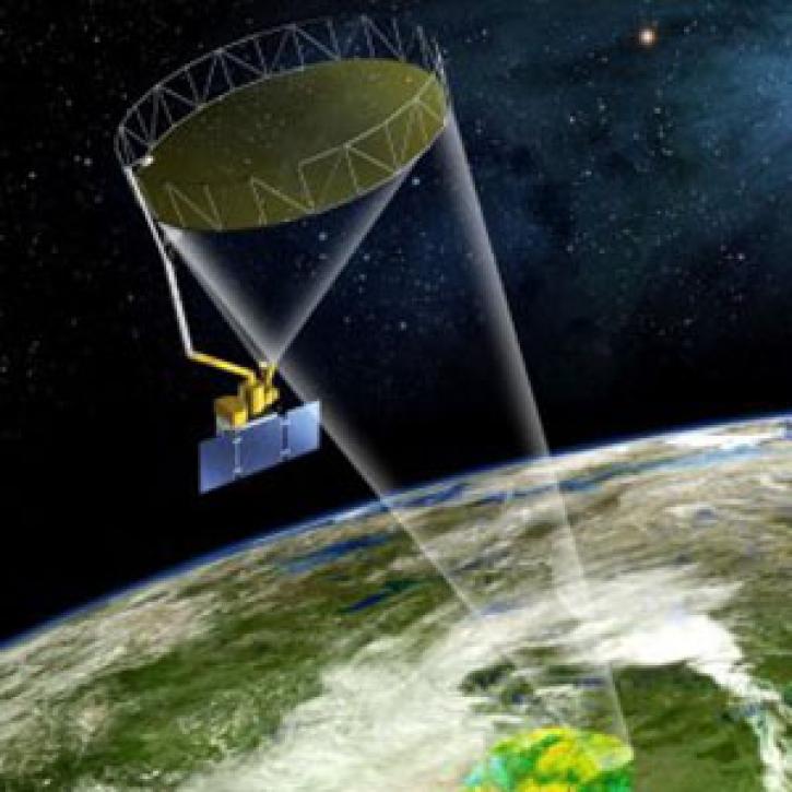
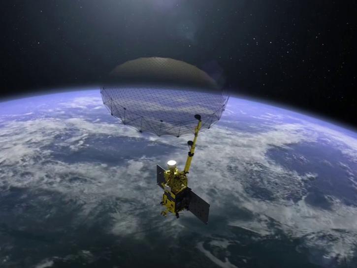
The Soil Moisture Active-Passive (SMAP) platform measures surface soil moisture and freeze-thaw state. These direct measurements improve our understanding of regional water cycles, ecosystem productivity, and processes that link the water, energy, and carbon cycles.
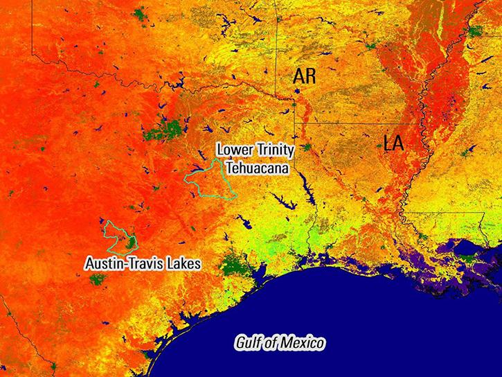
NASA's SMAP team turns raw satellite data into more than a dozen data products for data users around the world.
9 MIN READ
Remote sensing data's drought-indicating parameters are essential to manage the impact of water scarcities and minimize drought losses.
GIBS now has Soil Moisture Active Passive (SMAP) layers available for soil moisture and temperature, snow mass, heterotrophic respiration, and more.
Frequently Asked Questions
Earthdata Forum
Our online forum provides a space for users to browse thousands of FAQs about research needs, data, and data applications. You can also submit new questions for our experts to answer.
Submit Questions to Earthdata Forumand View Expert Responses


