We are in the process of migrating all NASA Earth science data sites into Earthdata from now until end of 2026. Not all NASA Earth science data and resources will appear here until then. Thank you for your patience as we make this transition.
Read about the Web Unification Project
Land Surface Temperature Learning Resources
Webinars, tutorials, data recipes and more to help you work with Land Surface Temperature.
Filters

Learn to use the Application for Extracting and Exploring Analysis Ready Samples (AppEEARS) tool with various fire, temperature, precipitation, and vegetation data.
Webinar
Oct. 25, 2019

Europe experienced a heat wave in 2019, highlighting the dangers of urban heat islands and the potential of ECOsystem Spaceborne Thermal Radiometer (ECOSTRESS) data to identify at-risk areas.
Data in Action
Aug. 21, 2019

The Application for Extracting and Exploring Analysis Ready Samples (AppEEARS) tool simplifies data access, extraction, transformation, and visualization for defined areas.
Tutorial
Nov. 9, 2018

The Application for Extracting and Exploring Analysis Ready Samples (AppEEARS) Area Sampler allows users to extract, visualize, and download NASA data for an area of interest.
Tutorial
Oct. 25, 2017
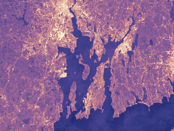
Population data from the Gridded Population of the World (GPW) project and land surface temperature data from MODIS show that higher UN-adjusted population density correlates with higher Urban Heat Island temperatures.
Data in Action
Aug. 4, 2017

Learn how to access improved Moderate Resolution Imaging Spectroradiometer (MODIS) Land Surface Temperature data via Earthdata Search, covering product details and download steps.
Tutorial
April 10, 2017

Learn how to use Moderate Resolution Imaging Spectroradiometer (MODIS) Version 6 Land Surface Temperature data, and access details about its scale factors, visualization, and related resources.
Tutorial
April 10, 2017

Satellite data from NASA's MODIS instrument illustrates the relationship between snow cover and temperature and the viability of skiing conditions over time.
Data in Action
Feb. 2, 2017
SHOWING 8 OF 21
Frequently Asked Questions
Earthdata Forum
Our online forum provides a space for users to browse thousands of FAQs about research needs, data, and data applications. You can also submit new questions for our experts to answer.
Submit Questions to Earthdata Forumand View Expert Responses