We are in the process of migrating all NASA Earth science data sites into Earthdata from now until end of 2026. Not all NASA Earth science data and resources will appear here until then. Thank you for your patience as we make this transition.
Read about the Web Unification Project
Land Use/Land Cover Classification News
Articles, resources, and announcements from Land Use/Land Cover Classification.

11 PACE data products are now available through NASA's Earthdata Geographic Information Systems imagery services and discoverable via Esri's ArcGIS Living Atlas of the World.
News
Feb. 9, 2026

This training offered by NASA's ARSET program demonstrates how to use NASA data to understand land cover and land use change.
News
Dec. 29, 2025
The addition of HLS data to Azure provides a foundation for next-generation Earth observation capabilities.
Blog
Sept. 30, 2025

These new vegetation indices offer the same near-global coverage, and 30-meter spatial resolution as the initial HLS products.
News
Feb. 19, 2025
Users can now access the full Harmonized Landsat and Sentinel-2 (HLS) data archive back to April 2013.
News
Sept. 6, 2023
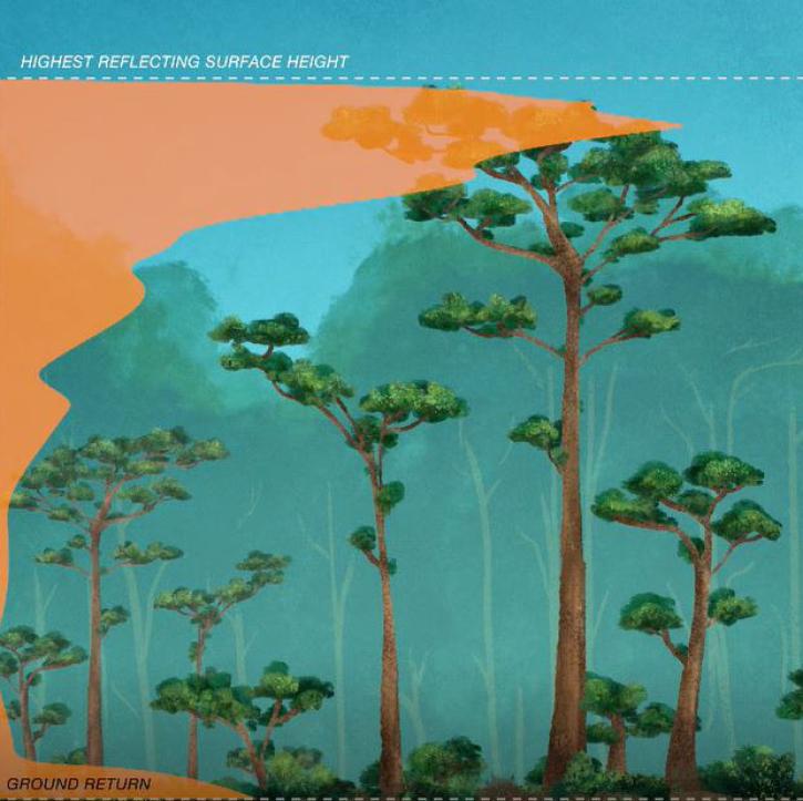
New dataset provides the first high-resolution 3D aboveground biomass density estimates for tropical and temperate forests around the globe.
Feature Article
Jan. 25, 2022

Satellites provide crucial information for researchers to monitor and help improve agricultural productivity in India.
Feature Article
Oct. 22, 2021

Who uses NASA Earth science data? Dennis Ojima, to examine natural resource management response strategies to climate change in the North Central U.S.
Data User Story
April 22, 2021
SHOWING 8 OF 34