Due to the lapse in federal government funding, NASA is not updating this website. We sincerely regret this inconvenience.
Soil Moisture/Water Content Data Access and Tools
NASA has soil moisture and water content datasets that help researchers characterize the condition of soil around the world. Access a range of data and data tools such as the Soil Moisture Visualizer, Crop Condition and Soil Moisture Analytics (Crop-CASMA), and AppEEARS to make the most of soil moisture data.
Table of contents
Soil Moisture/Water Content Data Tools
| Tool Sort descending | Description | Services | |
|---|---|---|---|
| Vertex | Vertex is a graphical search interface for finding synthetic aperture radar (SAR) data. | Search and Discovery, Access, Downloading, Processing, Subsetting |
SHOWING 1 OF 1
Featured Observation Method: SMAP
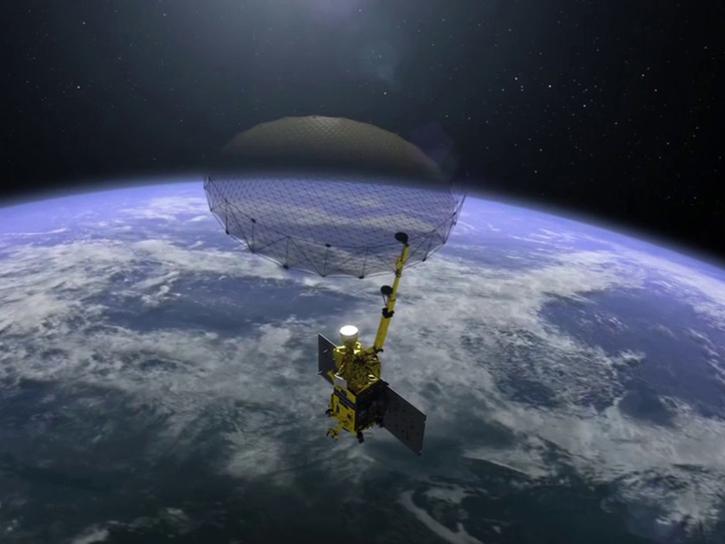
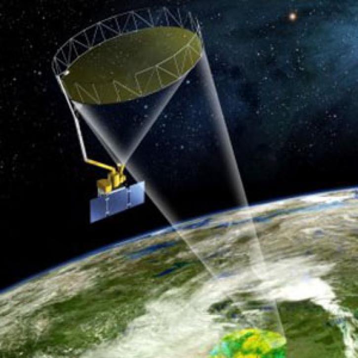
The Soil Moisture Active-Passive (SMAP) platform is a satellite that measures the surface moisture and freeze-thaw state of soil around the world approximately every three days. SMAP data contributes to understanding regional water cycles, ecosystem productivity, and natural processes involving water, energy, and carbon. SMAP's high-resolution data are helpful for weather, flood, and drought forecasting, and predicting agricultural productivity.
GIBS now has Soil Moisture Active Passive (SMAP) layers available for soil moisture and temperature, snow mass, heterotrophic respiration, and more.
This webinar will compare sea surface salinity data collected by the Aquarius and SMAP missions. We will showcase data visualization and data access tools available through NASA's Physical Oceanography Distributed Active Archive Center.
NASA's SMAP team turns raw satellite data into more than a dozen data products for data users around the world.
9 MIN READ
Feature article describing NASA's SMAP mission and the roles that ASF DAAC will play with distributing the SAR data.
Soil Moisture/Water Content Datasets
| Dataset | Platforms | Instruments | Temporal Extent | Location Keywords | Spatial Extent | Data Format |
|---|---|---|---|---|---|---|
| Burned and Unburned Field Site Data, Noatak, Seward, and North Slope, AK, 2016-2018 | FIELD SURVEYS | SOIL MOISTURE PROBE, THERMOMETERS | 2016-07-22 to 2018-08-27 | ALASKA | N: 69.6632 S: 65.0181 E: -148.641 W: -164.929 | multiple |
| CMS: Evapotranspiration and Meteorology, Water-Limited Shrublands, Mexico, 2008-2010 | FIXED OBSERVATION STATIONS, METEOROLOGICAL STATIONS | SOIL HEAT FLUX TRANSDUCER, EDDY CORRELATION DEVICES, IRGA, SOIL MOISTURE PROBE, RAIN GAUGES | 2008-01-01 to 2010-12-31 | N: 32.0301 S: 29.741 E: -110.534 W: -116.605 | CSV | |
| CMS: Soil CO2 Efflux and Properties, Site Vegetation Measurements, Mexico, 2011-2012 | FIELD SURVEYS | SOIL SAMPLER | 2011-08-01 to 2012-08-31 | N: 32.04 S: 32.02 E: -116.59 W: -116.61 | CSV | |
| Field Data on Soils, Vegetation, and Fire History for Alaska Tundra Sites, 1972-2020 | FIELD SURVEYS | VISUAL CENSUS TRANSECTS, THERMOMETERS | 1972-08-01 to 2020-08-15 | ALASKA | N: 71.334 S: 61.1397 E: -141.683 W: -166.41 | CSV |
| FLUXNET Canada Research Network - Canadian Carbon Program Data Collection, 1993-2014 | METEOROLOGICAL STATIONS, FIELD SURVEYS | PYRANOMETERS, ANEMOMETERS, RAIN GAUGES, THERMOCOUPLES, THERMOMETERS, THERMISTORS, STEEL MEASURING TAPE, CO2 ANALYZERS, PROBES | 1993-01-01 to 2014-12-31 | GLOBAL LAND | N: 55.88 S: 42.6609 E: -67.0993 W: -125.334 | CSV |
| Forest-BGC Model (OTTER) | NOT APPLICABLE | NOT APPLICABLE | 1990-01-01 to 1990-12-31 | N: 45.07 S: 44.38 E: -121.68 W: -123.95 | multiple | |
| Gamma Ray Data: Peck (FIFE) | AC-500S | GAMMA RADIATION DETECTOR | 1987-06-03 to 1989-08-10 | N: 39.12 S: 38.97 E: -96.48 W: -96.62 | ASCII | |
| Global Data Set of Derived Soil Properties, 0.5-Degree Grid (ISRIC-WISE) | NOT APPLICABLE | NOT APPLICABLE | 1950-01-01 to 1995-12-31 | N: 90 S: -90 E: 180 W: -180 | ASCII Grid | |
| Global Distribution of Plant-Extractable Water Capacity of Soil (Dunne) | NOT APPLICABLE | NOT APPLICABLE | 1996-01-01 to 1996-12-31 | N: 90 S: -90 E: 180 W: -180 | multiple | |
| Global Forest Ecosystem Structure and Function Data For Carbon Balance Research | NOAA-14 | AVHRR | 1897-01-01 to 2006-12-31 | N: 67.36 S: -42.87 E: 172.75 W: -159.5 | Shapefile |
Pagination
SHOWING 10 OF 159
Frequently Asked Questions
Earthdata Forum
Our online forum provides a space for users to browse thousands of FAQs about research needs, data, and data applications. You can also submit new questions for our experts to answer.
Submit Questions to Earthdata Forumand View Expert Responses


