Content from all Earth science data sites are migrating into this site from now until end of 2026. Not all NASA Earth science data will appear across the site until then. Thank you for your patience as we make this transition.
Read about the Web Unification Project
Earth is covered in more than 57 million miles of land, comprising nearly 30% of the planet’s entire surface. Land surface research includes investigating shrinking forests, warming land, eroding soils and other developments and processes. NASA’s Earth-observing satellites and instruments provide key data for this research such as surface temperature, land cover area, land use, topography, soil moisture, and vegetation cover.
Our vast land surface data products include land interferograms, vegetation type maps, land surface atmospheric boundary interaction measurements, soil moisture levels, fire and thermal anomaly detection, and global shuttle radar topography surveys.

Latest Land Surface News
2 MIN READ
Access Sea Surface Salinity with Sea Ice Mask, a NASA Satellite Needs Working Group solution, to discern salinity values close to the sea ice edge.
News

2 MIN READ
Learn more about the NASA Commercial Satellite Data Acquisition (CSDA) program vendor ICEYE US and how to discover, access, and work with ICEYE's high-resolution SAR products.
Event
1 MIN READ
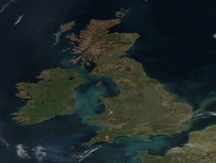
Image captured on Apr 2, 2025, by the VIIRS instrument aboard the joint NASA/NOAA Suomi NPP platform.
Worldview Image of the Week
Join Our Community of NASA Data Users
While NASA data are openly available without restriction, an Earthdata Login is required to download data and to use some tools with full functionality.
Learn About the Benefits of Earthdata LoginFrequently Asked Questions
Earthdata Forum
Our online forum provides a space for users to browse thousands of FAQs about research needs, data, and data applications. You can also submit new questions for our experts to answer.
Submit Questions to Earthdata Forumand View Expert Responses