Delivery of Suomi National Polar-orbiting Partnership (Suomi NPP) satellite data products will cease on November 1, 2026. Data users should transition now to alternative products from NOAA-21 and NOAA-20.
Suomi NPP data announcement
Tsunamis Learning Resources
Webinars, tutorials, data recipes and more to help you work with Tsunamis.
Filters
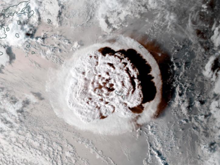
Altimetry data and models reveal how a volcanic eruption generated a tsunami.
Data in Action
March 20, 2025
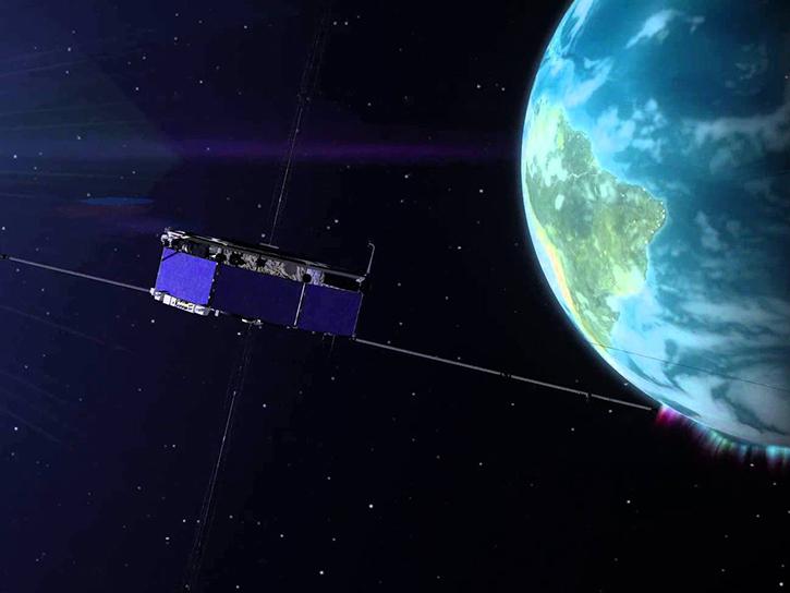
The GNSS-based Upper Atmospheric Realtime Disaster Information and Alert Network (GUARDIAN) aims to enhance early warning of tsunamis.
Data in Action
Dec. 13, 2024
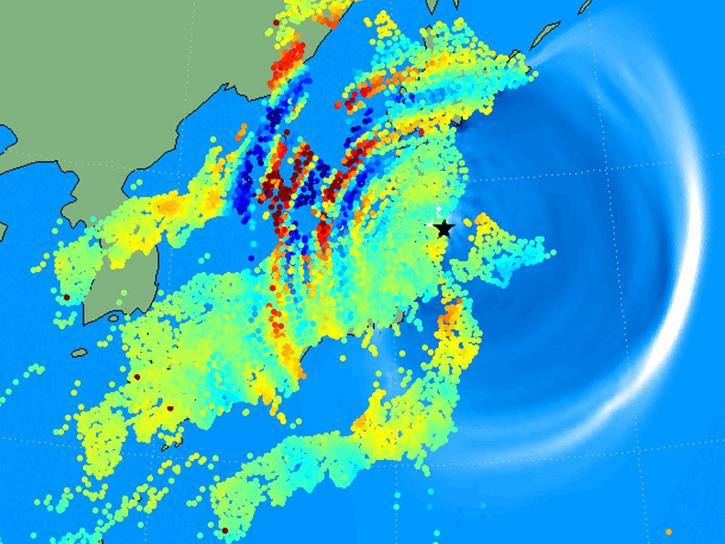
Learn how to use the GNSS-based Upper Atmospheric Realtime Disaster Information and Alert Network (GUARDIAN) ionospheric monitoring software to supplement early warning systems (EWS) detections of natural hazards such as tsunamis, volcanic eruptions, earthquakes, and geomagnetic and solar storms.
Webinar
Sept. 18, 2023
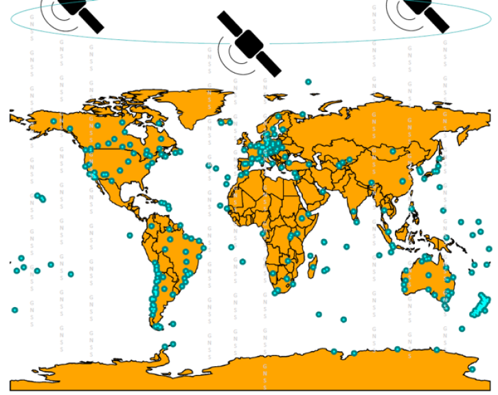
Join us on Sept. 28 to learn about the NASA Making Earth System Data Records (ESDR) for Use in Research Environments (MEaSUREs) Extended Solid Earth Science ESDR System (ESESES) project, whose Global Navigation Satellite System (GNSS)-derived data products enable research on tectonic motion, crustal deformation, earthquakes, tsunamis, sea level rise, extreme weather, and more!
Webinar
Sept. 8, 2022

This ARSET training teaches how to use the GDACS to monitor disasters, assess impacts, and develop response strategies.
Training
Feb. 21, 2017
This ARSET training provides an overview of NASA remote sensing data and applications for disaster management.
Training
June 9-30, 2016
SHOWING 6 OF 6
Get Help
QUESTIONS & SUPPORT
Have a question?
Get help with NASA Earth science data, datasets, tools, services, and metadata on the Earthdata Forum. Experienced staff in the data user community review and answer questions.
Get help on Earthdata ForumEarthdata
Forum
Forum