Worldview Image of the Week
Embedded maps from Worldview are currently unavailable. We apologize for the inconvenience.
May 23, 2016
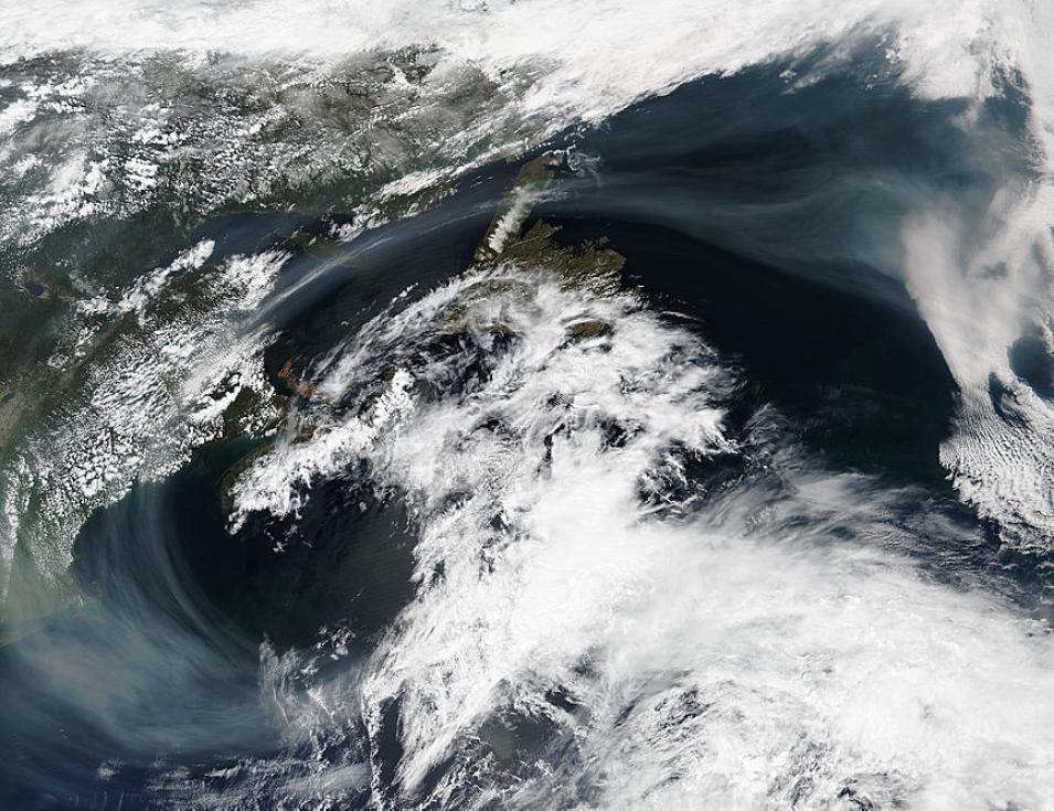
Smoke from western wildfires over the Atlantic Ocean
Image captured on 20 May 2016 by the VIIRS instrument, aboard the joint NASA/NOAA Suomi NPP satellite.
Image of the smoke from western wildfires over the Atlantic Ocean, acquired on 20 May 2016 by the Visible Infrared Imaging Radiometer Suite (VIIRS) instrument aboard the joint NASA/NOAA Suomi National Polar-orbiting Partnership (Suomi NPP) satellite.
Visit Worldview to visualize near real-time data from NASA's Earth Observing System Data and Information System (EOSDIS).
Last Updated
Feb 26, 2020
Earthdata Discovery
Earth Science Data Systems Monthly Newsletter