We are in the process of migrating all NASA Earth science data sites into Earthdata from now until end of 2026. Not all NASA Earth science data and resources will appear here until then. Thank you for your patience as we make this transition.
Read about the Web Unification Project
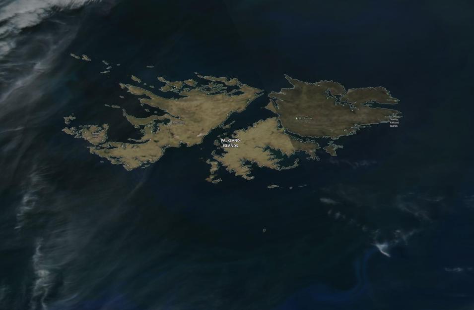
The Falkland Islands From Space
Image captured on 23 November 2019, by the VIIRS instrument, aboard the joint NASA/NOAA Suomi NPP satellite.
True-color image showing the Falkland Islands from space, acquired on 23 November 2019 by the Visible Infrared Imaging Radiometer Suite (VIIRS) Instrument, aboard the joint NASA/NOAA Suomi National Polar-orbiting Partnership (Suomi NPP) satellite.
The Falkland Islands (or Islas Malvinas in Spanish) is an archipelago in the South Atlantic Ocean on the Patagonian Shelf. They are a British overseas territory (BOT) under the jurisdiction and sovereignty of the United Kingdom.
Visit Worldview to visualize near real-time imagery from NASA's EOSDIS, and check out more Worldview weekly images in our archive.
Details
Last Updated
Published on
Nov. 4, 2020
