Earthdata Forum is down due to unplanned maintenance. Please contact earthdata-support@nasa.gov with questions.
See the alert
Wildfires in Alberta, Canada
Image captured on 19 May 2019, by the MODIS instrument, aboard the Terra satellite.
Image
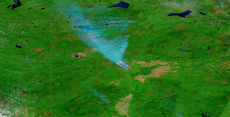
False-color image of wildfires in Alberta, Canada. The image was acquired on 19 May 2019 by the Moderate Resolution Imaging Spectroradiometer (MODIS) instrument, aboard the Terra satellite. Compare the false-color, bands 7-2-1 image with the true-color image to view the smoke emanating from the fires.
Visit Worldview to visualize near real-time imagery from NASA's Earth Observing System Data and Information System (EOSDIS).
Details
Last Updated
Published on
Nov. 3, 2020