We are in the process of migrating all NASA Earth science data sites into Earthdata from now until end of 2026. Not all NASA Earth science data and resources will appear here until then. Thank you for your patience as we make this transition.
Read about the Web Unification Project
LAADS DAAC News
Read the latest news stories, feature articles, user stories, and blog posts that feature data archived by NASA's Level-1 and Atmosphere Archive and Distribution System Distributed Active Archive Center (LAADS DAAC).
For real-time announcements about data outages, releases, and retirements, see our list of Data Alerts and Outages.
Filters
Who Uses NASA Earth Science Data? John Lehrter, to study the water quality of estuarine and coastal environments
Data User Story
Dec. 22, 2020
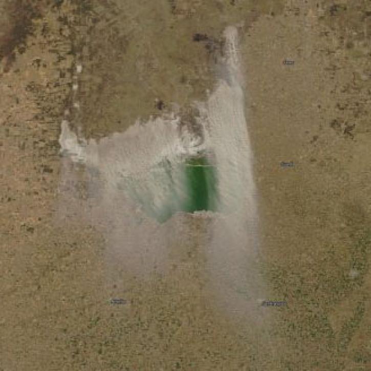
Who uses NASA Earth science data? Dr. Santiago Gassó, to study the concentration and global movement of dust.
Data User Story
Dec. 22, 2020
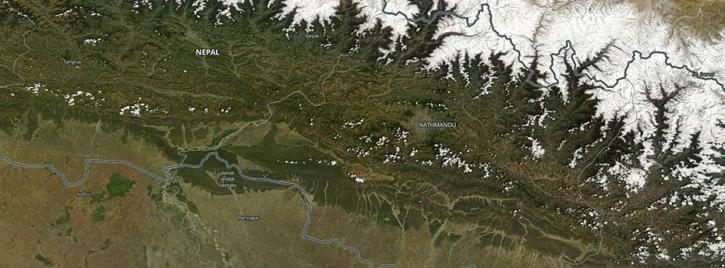
Explore and download data and imagery from EOSDIS for the the Nepalese region affected by the earthquake on April 25, 2015 and aftershocks.
Feature Article
Nov. 4, 2020
Interactively explore your world your way with nearly 20 years of MODIS global imagery and the EOSDIS Worldview data visualization application.
Feature Article
Nov. 4, 2020
Since 1999, NASA’s Terra Earth observing satellite has completed more than 100,000 orbits. The instrument data from this workhorse satellite has resulted in one of the longest continuous data records of our planet ever recorded from space.
Feature Article
Nov. 4, 2020
The annual NASA EOSDIS customer satisfaction survey shows consistent, strong performance and high satisfaction with products and services, as well as with EOSDIS DAACs.
News
Nov. 4, 2020
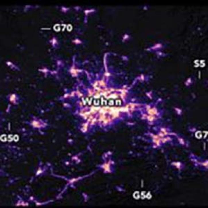
Nighttime satellite images provide a unique global picture of how human activities are changing on a daily basis. Images from January 19 and February 4, 2020
Feature Article
Nov. 4, 2020
MODIS Terra Collection 6 Aerosol, Cloud, and other Atmospheric Level-2 and Level-3 Data
News
Nov. 4, 2020
Pagination
SHOWING 8 OF 90