We are in the process of migrating all NASA Earth science data sites into Earthdata from now until end of 2026. Not all NASA Earth science data and resources will appear here until then. Thank you for your patience as we make this transition.
Read about the Web Unification Project
LP DAAC Learning Resources
Explore webinars, trainings, tutorials, and other learning resources from NASA’s Land Processes Distributed Active Archive Center (LP DAAC). Learn how to discover, access, process, and apply Earth science data from platforms and instruments such as MODIS, ASTER, VIIRS, GEDI, ECOSTRESS, EMIT, and HLS.
LP DAAC maintains a collection of dataset and topic-specific GitHub repositories that include step-by-step tutorials, scripts, guides, and example workflows for getting started with LP DAAC data. Users can browse available resources in the LP DAAC Data Resources GitHub repository, which serves as a central hub and provides links to additional LP DAAC–maintained GitHub repositories for specific datasets and topics.
Filters

Learn about the Visible Infrared Imaging Radiometer Suite (VIIRS) instrument and how to access VIIRS Surface Reflectance data.
Tutorial
Aug. 8, 2017

Learn how to work with ASTER Level 1 Precision Terrain Corrected Registered At-Sensor Radiance ASTER L1T HDF-EOS (.hdf) files in R.
Data Recipe
Aug. 4, 2017
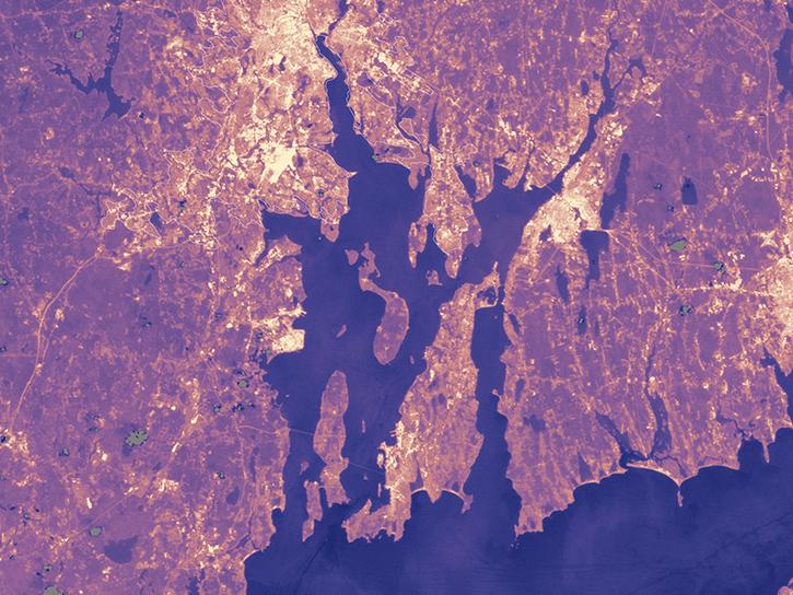
Population data from the Gridded Population of the World (GPW) project and land surface temperature data from MODIS show that higher UN-adjusted population density correlates with higher Urban Heat Island temperatures.
Data in Action
Aug. 4, 2017

Learn how to decode quality data from MODIS products using an API quality service.
Tutorial
July 28, 2017
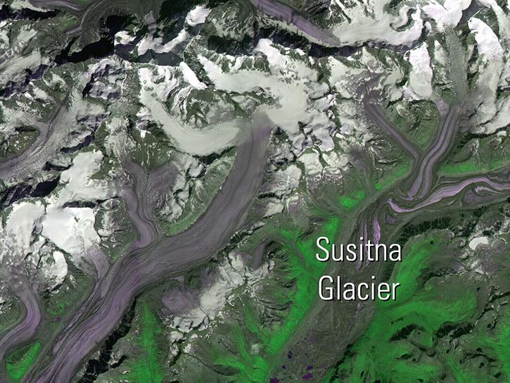
Read publication highlights that detail how NASA data are used to monitor fuel moisture in Hawaii, glacier change in Alaska, and ice cap albedo in Iceland, providing crucial environmental insights.
Data in Action
July 26, 2017

This ARSET training provides an overview of drought classification and web-based tools for drought monitoring and visualization.
Training
July 12-19, 2017

Follow Superstorm Sandy's lifecycle and impacts, and how the recovery of affected ecosystems were tracked by NASA remote sensing data.
Data in Action
July 6, 2017

Read how Navajo Nation Climate III DEVELOP team used Earth observation data to investigate drivers of drought in the Southwestern United States.
Data in Action
June 14, 2017
SHOWING 8 OF 226