We are in the process of migrating all NASA Earth science data sites into Earthdata from now until end of 2026. Not all NASA Earth science data and resources will appear here until then. Thank you for your patience as we make this transition.
Read about the Web Unification Project
A DSWx-S1 processing issue that combined Sentinel-1A and -1C data into a single product was fixed on Dec. 9, 2025. Affected products are being reprocessed, with completion expected by January 2026.
Learn more.
PO.DAAC Learning Resources
Learning resources created by NASA’s Physical Oceanography Distributed Active Archive Center (PO.DAAC) help users find, analyze, and visualize data.
The PO.DAAC cookbook is a repository of tutorials designed to help users learn about and experiment with datasets.
Resources include:
- How-to section: bite-sized pieces of code
- Tutorials: example workflows specific to PO.DAAC datasets
- Advanced Cloud resources: guides, recipes, and more to help optimize cloud workflows
- Tech Guide: instructions to clone the PO.DAAC repository
Filters
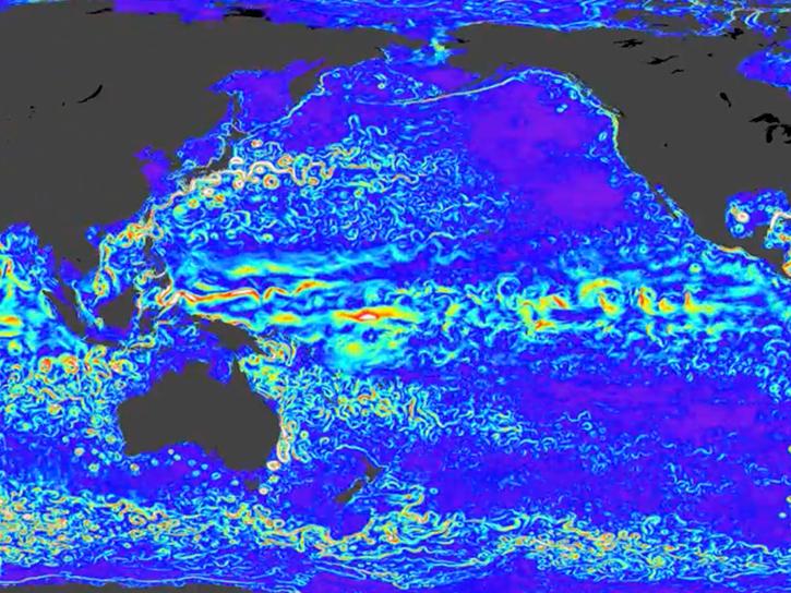
NASA’s SWOT satellite will measure sea level height variations on spatial scales down to a few kilometers.
Data in Action
Aug. 17, 2013
TOPEX/Poseidon provided more than 13 years of data, while two follow-on missions—Jason-1 and Jason-2—have extended the time series of data to more than 20 years.
Data in Action
Dec. 12, 2012
GRACE satellites were used to "weigh" the ocean to determine the cause of a drop in the global mean sea level.
Data in Action
Oct. 8, 2012
The Salinity Processes in the Upper Ocean Regional Study (SPURS) project aims to improve our understanding of salinity processes in the upper ocean.
Data in Action
Sept. 4, 2012
Tropical instability waves have been observed by satellite observations of sea level and surface temperature, direct ocean, and other measurements.
Data in Action
July 1, 2012
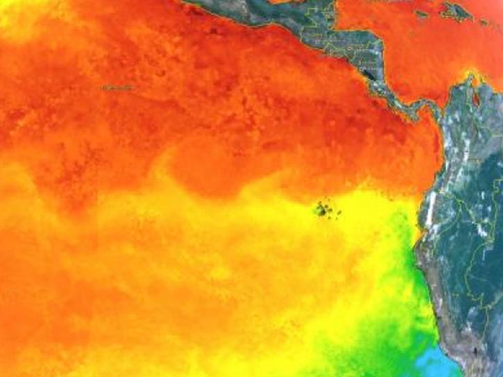
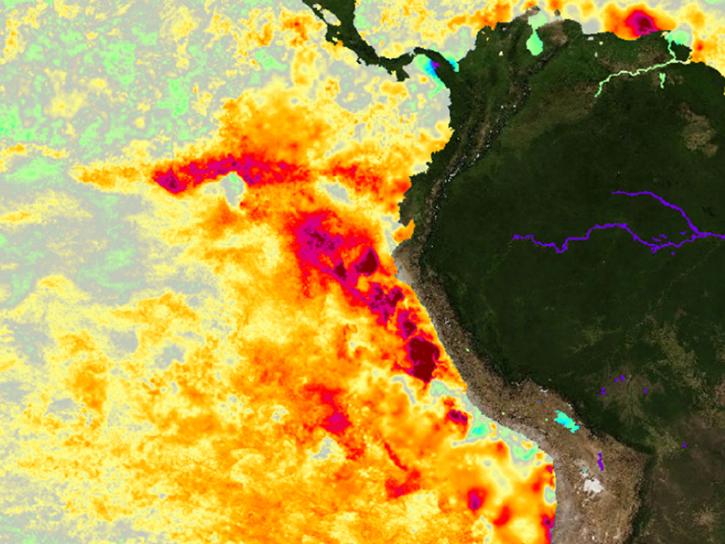
Sea surface temperature anomalies in the Eastern Pacific have shown a recent warming, a known precursor to El Niño conditions in the Equatorial Pacific.
Data in Action
May 21, 2012
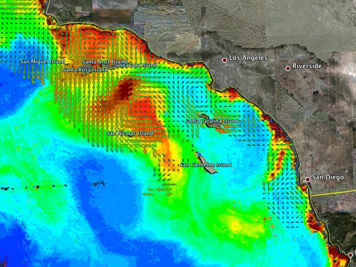
An examination of satellite data provides information on the oceanographic conditions that may have been conducive to intense algal blooms.
Data in Action
Oct. 24, 2011
Pagination
SHOWING 7 OF 87