We are in the process of migrating all NASA Earth science data sites into Earthdata from now until end of 2026. Not all NASA Earth science data and resources will appear here until then. Thank you for your patience as we make this transition.
Read about the Web Unification Project
A DSWx-S1 processing issue that combined Sentinel-1A and -1C data into a single product was fixed on Dec. 9, 2025. Affected products are being reprocessed, with completion expected by January 2026.
Learn more.
PO.DAAC News
Read the latest news stories, feature articles, user stories, and blog posts that feature data archived by NASA's Physical Oceanography Distributed Active Archive Center (PO.DAAC).
For real-time announcements about data outages, releases, and retirements, see our list of Data Alerts and Outages.
Filters
The new Earthdata Forum provides an interactive platform for data users to pose specific questions about data, tools, and services and receive answers from DAAC experts.
Feature Article
Nov. 4, 2020
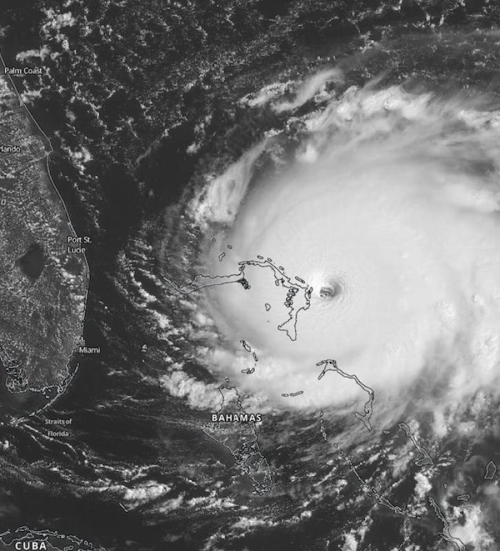
Scientists at NASA's Short-Term Prediction Research and Transition (SPoRT) project use near real-time data to help the operational weather community with hurricane forecasting.
Feature Article
Nov. 4, 2020
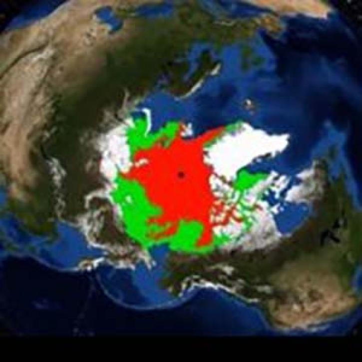
A new animation created from SeaWinds scatterometer data shows changes in Arctic sea ice age between 2002 and 2009.
News
Nov. 4, 2020
The experience may be different this summer, but almost a dozen interns are helping the ESDIS Project office and EOSDIS DAACs move vital work forward.
Feature Article
Aug. 12, 2020
The technical requirements for moving NASA EOSDIS data into the commercial cloud are enormous. Mark McInerney oversees this effort and helps ensure these data are interoperable with similar data from other agencies.
Data User Story
July 29, 2020
The UARS satellite has revolutionized our view of the mesosphere.
Feature Article
July 28, 2020
Heat flux between Earth's atmosphere and ocean significantly impacts global climate.
Feature Article
July 28, 2020
A new long-term archive of satellite data will help hydrologists monitor floods, allow aid agencies to pinpoint flood-prone regions, and provide information for modeling Earth's complex hydrologic cycles.
Feature Article
July 28, 2020
Pagination
SHOWING 8 OF 166