We are in the process of migrating all NASA Earth science data sites into Earthdata from now until end of 2026. Not all NASA Earth science data and resources will appear here until then. Thank you for your patience as we make this transition.
Read about the Web Unification Project
Platforms
Instruments
Projects
EMIT
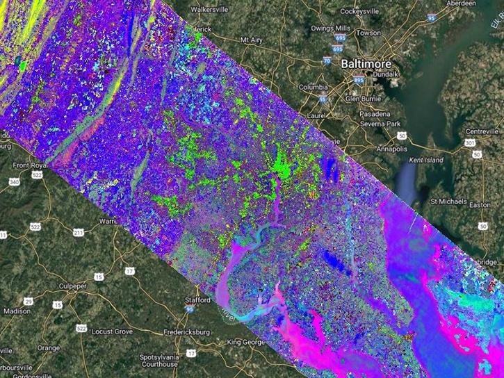
Spatial Extent
N: 54 S: -54 E: 180 W: -180
Spatial Resolution
60 Meters x 60 Meters
Location
GLOBAL LAND
Coordinate System
CARTESIAN
Granule Spatial Representation
GEODETIC
Temporal Extent
2022-08-10 to 2024-10-26
Temporal Resolution
Varies
Data Partner
Land Processes Distributed Active Archive Center (LP DAAC)
,
Earth Surface Mineral Dust Source Investigation, Jet Propulsion Laboratory, NASA (NASA/JPL/EMIT)
Concept ID
C2748088093-LPCLOUD
Data State
DEPRECATED
Number of Files/Granules
0
Processing Level
2B
Published
Updated
Science Keywords
Methane
,
Emissions