ATLAS Resources

Earthdata resources for users working with NASA's Advanced Topographic Laser Altimeter System (ATLAS) instrument include tutorials and other learning resources, news announcements such as instrument updates and data releases, user guides and related documents, and frequently asked questions.

ATLAS Learning Resources

Filters
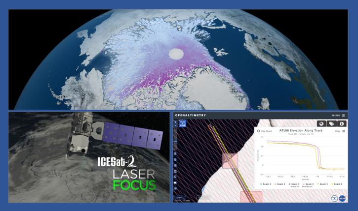
During this webinar we will introduce the ICESat-2 mission and show you how to explore, access and customize ICESat-2 data with the advanced discovery and visualization OpenAltimetry application, directly filter and access ICESat-2 data from an NSIDC DAAC data set page and subset, reformat and analyze ICESat-2 data using Python-based resources.
Webinar
Feb. 18, 2020
SHOWING 5 OF 13

ATLAS News

Filters
Terrestrial Ecology Subsetting and Visualization Services (TESViS) supports ecological field research in easy-to-use formats.
Feature Article
June 30, 2023
The five new datasets are the result of a joint effort by NASA’s Satellite Needs Working Group Management Office (SNWG MO), ICESat-2 team, and Land, Atmosphere Near real-time Capability for EOS (LANCE).
Feature Article
May 19, 2022
SHOWING 4 OF 39

Get Help

QUESTIONS & SUPPORT

Have a question?

Get help with NASA Earth science data, datasets, tools, services, and metadata on the Earthdata Forum. Experienced staff in the data user community review and answer questions.

Get help on Earthdata Forum
Earthdata
Forum